
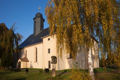
Saint Anne Church, church building in Halsbrücke, Saxony, Germany
Location: Halsbrücke
Address: Freiberger Straße -
GPS coordinates: 50.93915,13.36119
Latest update: March 2, 2025 20:33
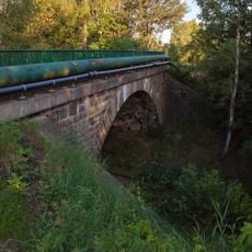
Eisenbahnbrücke Fuchsmühlenweg
2 km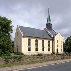
Protestant Church
1.9 km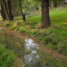
Kunstgraben Unteres Muldental
1.8 km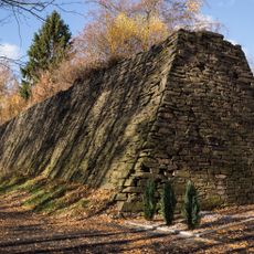
Erztransportanlage Unteres Muldental
1.8 km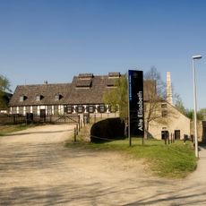
Alte Elisabeth shaft
1.8 km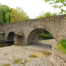
Conradsdorf road bridge
593 m
Rittergut Tuttendorf
206 m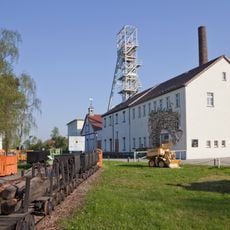
Bergbauliches Ensemble Fuchsmühlenweg 9
1.7 km
Reihenhäuser Münzbachtal 33; 35; 37
1.9 km
Wohnhaus Münzbachtal 72
1.9 km
Wohnhaus Münzbachtal 75
1.9 km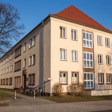
Studentenwohnheim Winklerstraße 16
2.1 km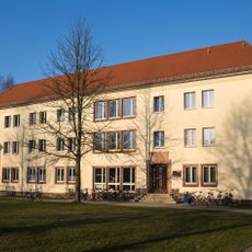
Studentenwohnheim Winklerstraße 18
2 km
Huthaus, Scheidebank, Stollenmundloch Unteres Muldental 8
2 km
Deutsches Brennstoffinstitut Halsbrücker Straße 34
1.4 km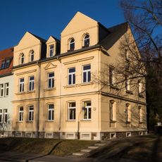
Mietshaus Münzbachtal 12
2 km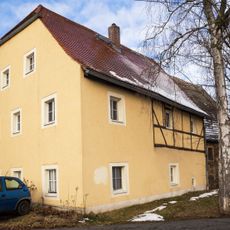
Anlage von zwei bergbaulichen Gebäuden Hornmühlenweg 9
1.9 km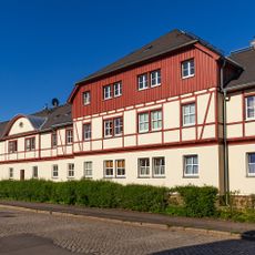
Reihenhäuser Münzbachtal 25; 27; 29; 31
1.9 km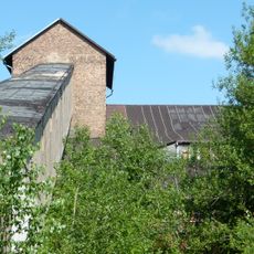
Davidschacht
1.9 km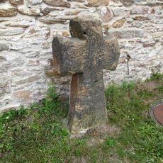
Steinkreuz
1.8 km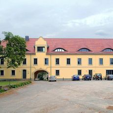
Herrenhaus Neubau
2 km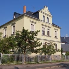
Villenartiges Wohnhaus Agricolastraße 19
2.1 km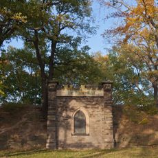
Bergbauliche Anlage Tuttendorfer Weg
1.3 km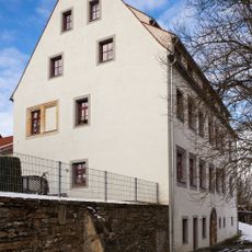
Wohnhaus Hornmühlenweg 7
2 km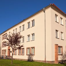
Studentenwohnheim Winklerstraße 22
2.1 km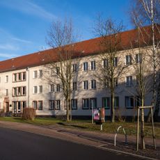
Studentenwohnheim Winklerstraße 20
2.1 km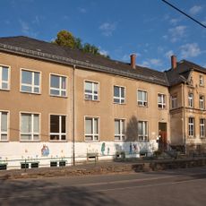
Schulgebäude Agricolastraße 35
2 km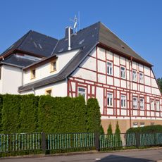
Wohnhaus Agricolastraße 21
2 kmVisited this place? Tap the stars to rate it and share your experience / photos with the community! Try now! You can cancel it anytime.
Discover hidden gems everywhere you go!
From secret cafés to breathtaking viewpoints, skip the crowded tourist spots and find places that match your style. Our app makes it easy with voice search, smart filtering, route optimization, and insider tips from travelers worldwide. Download now for the complete mobile experience.

A unique approach to discovering new places❞
— Le Figaro
All the places worth exploring❞
— France Info
A tailor-made excursion in just a few clicks❞
— 20 Minutes