
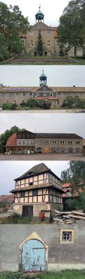
Trossin, Rittergut, woonhuis in Trossin, Duitsland
Location: Trossin
Inception: 1747
Part of: Anexo:Monumentos culturales de Trossin
Address: Unter den Linden, 04880 Trossin, Deutschland
GPS coordinates: 51.61666,12.82738
Latest update: March 9, 2025 10:49
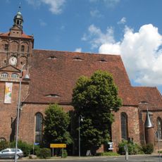
St. Marienkirche
4.7 km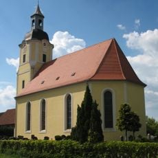
Dorfkirche Trossin
401 m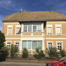
Bahnhofstraße 1
4.3 km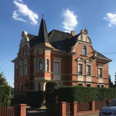
Leipziger Straße 30
4 km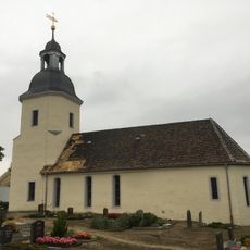
Protestant Church (Dahlenberg)
3.6 km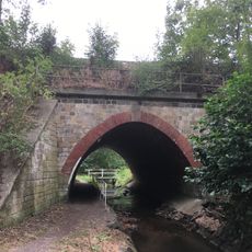
Railroad bridge "Grenzbach"
4.2 km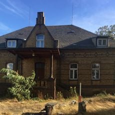
Dübener Straße 5
4.4 km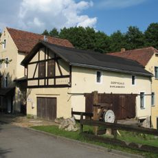
Dorfmühle Dahlenberg Dahlenberg
3.5 km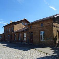
Bahnhof Dommitzsch
4.2 km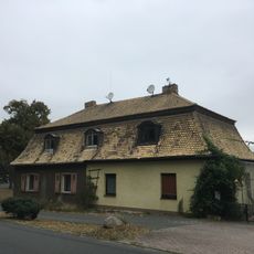
Trossin, Drescherhaus
94 m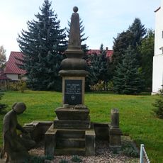
Kirche mit Ausstattung, Kirchhof und Denkmal für die Gefallenen des Ersten Weltkrieges Lindenstraße -
2.7 km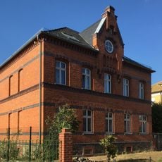
Leipziger Straße 76
4.3 km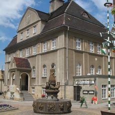
Rathaus Dommitzsch
4.6 km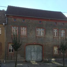
Dommitzsch, Sandstraße 2
4.7 km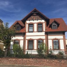
Bahnhofstraße 2
4.3 km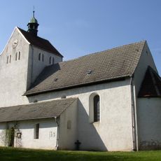
St. Martinskirche
5.4 km
Dorfstraße 12
3.1 km
Schloss Trossin
0 m
Leipziger Straße 62
4 km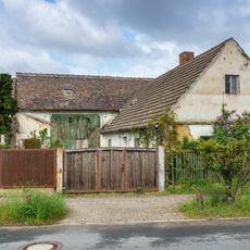
Dommitzscher Straße 31
5.2 km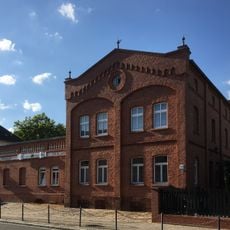
Leipziger Straße 74
4.3 km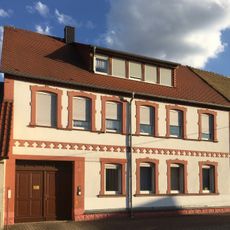
Leipziger Straße 26
4.1 km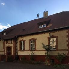
Leipziger Straße 19
4.3 km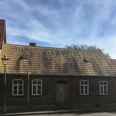
Commendestraße 2
3.8 km
Wegestein Roitzsch
3.1 km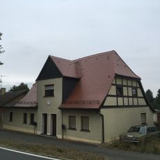
Trossin, Braumeisterhaus
115 m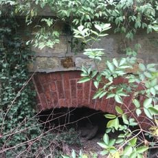
Durchlass Mühlgraben
4.2 km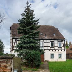
Schulstraße 11
5.4 kmReviews
Visited this place? Tap the stars to rate it and share your experience / photos with the community! Try now! You can cancel it anytime.
Discover hidden gems everywhere you go!
From secret cafés to breathtaking viewpoints, skip the crowded tourist spots and find places that match your style. Our app makes it easy with voice search, smart filtering, route optimization, and insider tips from travelers worldwide. Download now for the complete mobile experience.

A unique approach to discovering new places❞
— Le Figaro
All the places worth exploring❞
— France Info
A tailor-made excursion in just a few clicks❞
— 20 Minutes