
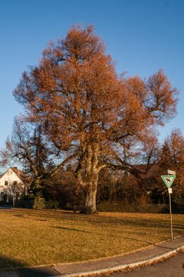
Unterhaidelbacher Friedenslinde, Tree in Germany
Location: Leinburg
Inception: 1995
GPS coordinates: 49.44986,11.32728
Latest update: March 3, 2025 02:26
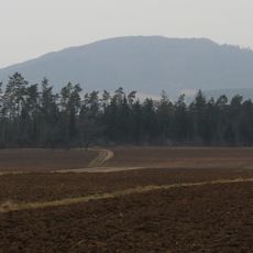
Moritzberg
2.1 km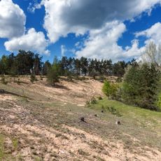
Flechten-Kiefernwälder südlich Leinburg
2.2 km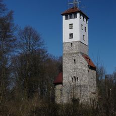
Moritzberg-Tower
2.2 km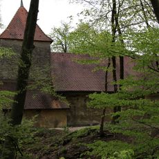
Evang.-Luth. Kirche St. Moritz in Röthenbach an der Pegnitz
2.2 km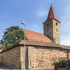
Evangelisch-lutherisch Pfarrkirche St. Leonhard in Leinburg
1.3 km
Brauereigasthof in Leinburg
1.3 km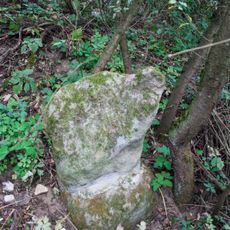
Steinkreuz in Leinburg
1.2 km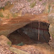
Silbersandhöhle im Ziegelbruckholz bei Gersdorf
2.3 km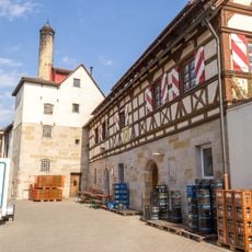
Brauhaus Marktplatz 14 (D-5-74-139-15#1)
1.3 km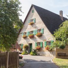
Bauernhaus in Leinburg
1.5 km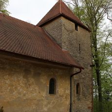
Cultural heritage D-5-6533-0149 in Röthenbach an der Pegnitz
2.2 km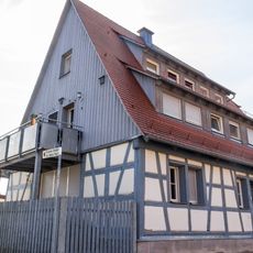
Ehemaliges Scheune in Leinburg
1.4 km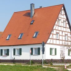
Former byre-dwelling in the village Unterhaidelbach
475 m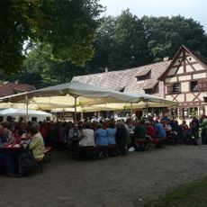
Ehem. Bruderschaftshaus in Röthenbach an der Pegnitz
2.2 km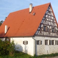
Former byre-dwelling in the hamlet Reuth
2.4 km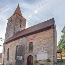
Cultural heritage D-5-6533-0154 in Leinburg
1.4 km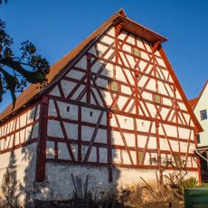
Scheune in Leinburg
1.6 km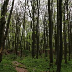
Schürfgrubenfeld am Moritzberg bei Diepersdorf
2.2 km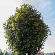
Holzplatzlinden in Leinburg
1.4 km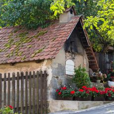
Backhaus Gänsebühlstraße 9 (D-5-74-139-10#1)
1.5 km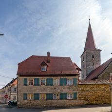
Kantorat- und Mesnerhaus in Leinburg
1.4 km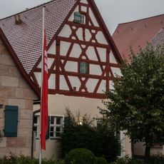
Stall Bachgasse 1 (D-5-74-139-3#1)
1.4 km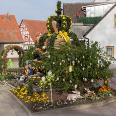
Easter fountains in Leinburg
1.3 km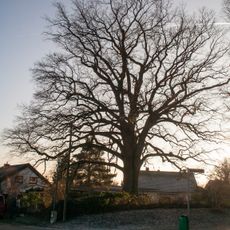
Unterhaidelsbacher Huteiche
123 m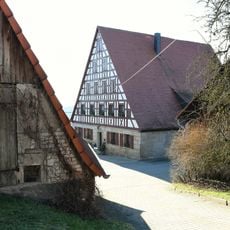
Wohnstallhaus in Leinburg
1.2 km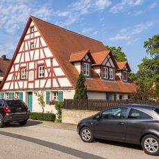
Ehemaliges Wohnstallhaus in Leinburg
1.3 km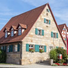
Ehemaliges Wohnstallhaus in Leinburg
1.4 km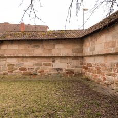
Kirchhofbefestigung Marktplatz 10 (D-5-74-139-14#1)
1.3 kmReviews
Visited this place? Tap the stars to rate it and share your experience / photos with the community! Try now! You can cancel it anytime.
Discover hidden gems everywhere you go!
From secret cafés to breathtaking viewpoints, skip the crowded tourist spots and find places that match your style. Our app makes it easy with voice search, smart filtering, route optimization, and insider tips from travelers worldwide. Download now for the complete mobile experience.

A unique approach to discovering new places❞
— Le Figaro
All the places worth exploring❞
— France Info
A tailor-made excursion in just a few clicks❞
— 20 Minutes