
Höttingen, human settlement in Germany
Location: Bütthard
Elevation above the sea: 281 m
GPS coordinates: 49.60659,9.90785
Latest update: March 9, 2025 04:38
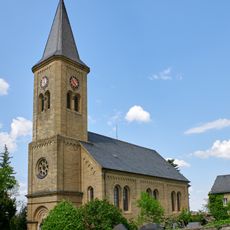
Kirche
1.6 km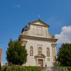
Kirche
21 m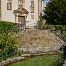
Friedhofsmauer Am Bild 2 in Bütthard
31 m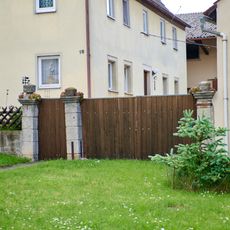
Hoftor
1.5 km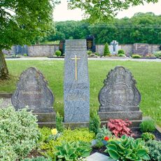
Friedhof
1.7 km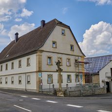
Wohnhaus
1.5 km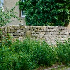
Kirchhofbefestigung
1.6 km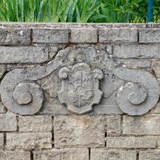
Wappen Insinger Straße 1 in Bütthard
1.5 km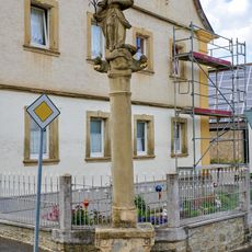
Mariensäule Insinger Straße 1 in Bütthard
1.5 km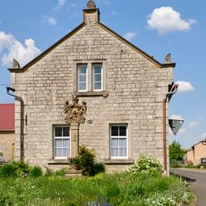
Nebengebäude St.-Michael-Straße 3 in Bütthard
1.4 km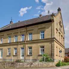
Bauernhaus
1.4 km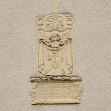
Bildstock St.-Michael-Straße 10 in Bütthard
1.5 km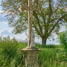
Kreuz
433 m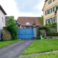
Hoftor St.-Michael-Straße 12 in Bütthard
1.5 km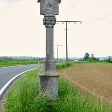
Bildstock
1.7 km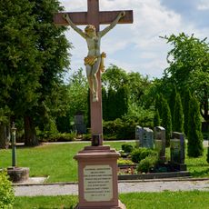
Friedhofskreuz
140 m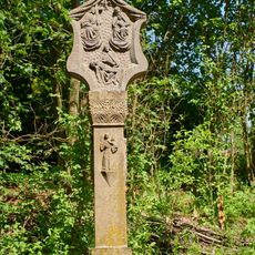
Bildstock
163 m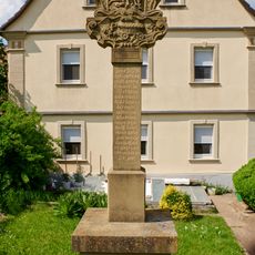
Bildstock
119 m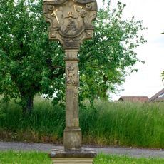
Bildstock
1.7 km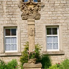
Bildstock
1.4 km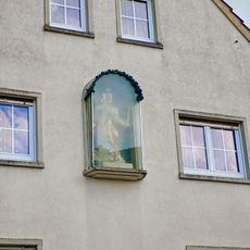
Heiligenfigur
1.6 km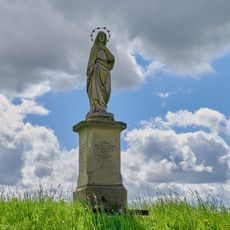
Mariensäule
2 km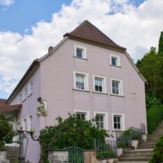
Wohnhaus
1.6 km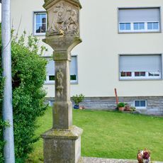
Bildstock
1.6 km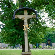
Kreuz Nähe Kirchweg in Bütthard
1.7 km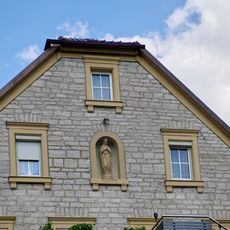
Heiligenfigur
1.6 km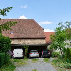
Scheune
1.5 km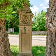
Pietà
60 mReviews
Visited this place? Tap the stars to rate it and share your experience / photos with the community! Try now! You can cancel it anytime.
Discover hidden gems everywhere you go!
From secret cafés to breathtaking viewpoints, skip the crowded tourist spots and find places that match your style. Our app makes it easy with voice search, smart filtering, route optimization, and insider tips from travelers worldwide. Download now for the complete mobile experience.

A unique approach to discovering new places❞
— Le Figaro
All the places worth exploring❞
— France Info
A tailor-made excursion in just a few clicks❞
— 20 Minutes