
Altmühl-Stauwehr, Stauwehr im Landkreis Neumarkt in der Oberpfalz Bayern
Location: Dietfurt an der Altmühl
Part of: Ludwig Canal
GPS coordinates: 49.01267,11.61321
Latest update: March 3, 2025 05:05

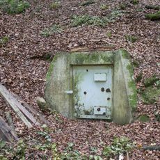
Mühlbachquellhöhle
1.2 km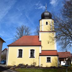
St. Gertrud
1.7 km
Mühlbachquelle
1.2 km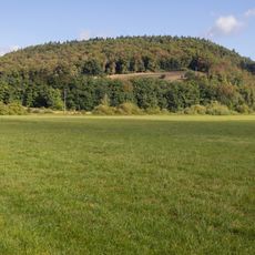
Wolfsberg bei Dietfurt
1.3 km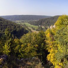
Cultural heritage D-3-6935-0039 in Dietfurt an der Altmühl
1.1 km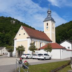
Mariä Heimsuchung
1.1 km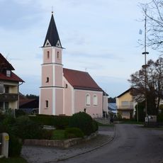
Katholische Kirche St. Jakobus
2 km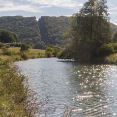
Abschnitt des Ludwig-Donau-Main-Kanals #05
189 m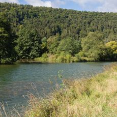
Erdbauten des Ludwig-Donau-Main-Kanals #06
2.1 km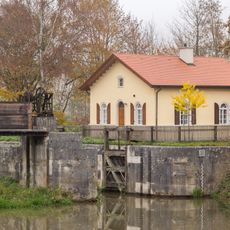
Schleuse 11 des Ludwig-Donau-Main-Kanals
2.3 km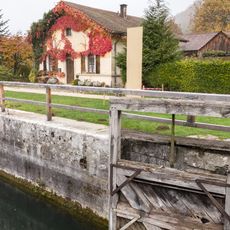
Schleuse 12 des Ludwig-Donau-Main-Kanals
224 m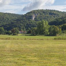
Kopffelsen bei Mühlbach
1.2 km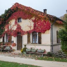
Schleusenwärterhaus Schleuse 12
227 m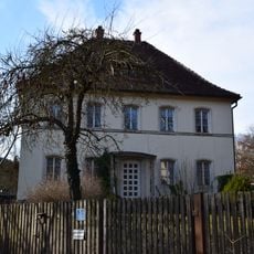
Ehemaliges Pfarrhaus
1.1 km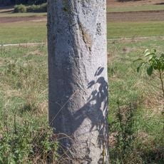
Kilometerstein 30 KM bei Mühlbach
642 m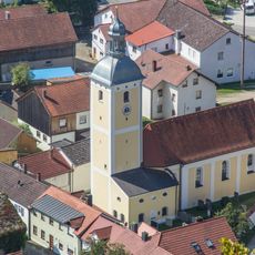
Cultural heritage D-3-6935-0162 in Dietfurt an der Altmühl
1.1 km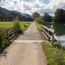
Mühlbach-Mündung
176 m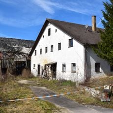
Bauernhof
1.7 km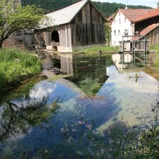
Sägemühle Obermühlenweg
1.2 km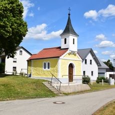
Dorfkapelle St. Maria
1.8 km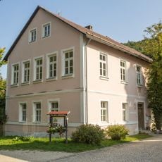
Obermühlenweg 1
1.1 km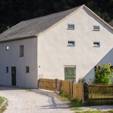
Obermühlenweg 3
1.2 km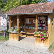
Public bookcases in Mühlbach
1.1 km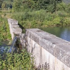
Staumauer bei der Schleuse 12
459 m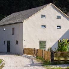
Wirtschaftsgebäude Obermühlenweg 3
1.2 km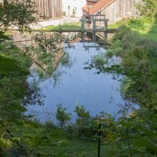
Quelle Mühlbach
1.2 km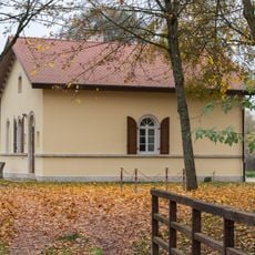
Schleusenwärterhaus Schleuse 11
2.3 km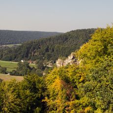
Breitfelsen
1.3 kmReviews
Visited this place? Tap the stars to rate it and share your experience / photos with the community! Try now! You can cancel it anytime.
Discover hidden gems everywhere you go!
From secret cafés to breathtaking viewpoints, skip the crowded tourist spots and find places that match your style. Our app makes it easy with voice search, smart filtering, route optimization, and insider tips from travelers worldwide. Download now for the complete mobile experience.

A unique approach to discovering new places❞
— Le Figaro
All the places worth exploring❞
— France Info
A tailor-made excursion in just a few clicks❞
— 20 Minutes