
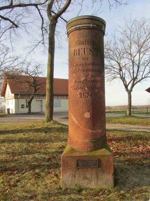
Station 22 Reust, Triangulation Column, 1nd Order Station, the Royal Saxon Triangulation in Saxony 1862-1890
Location: Rückersdorf
Inception: 1874
Part of: Royal Saxon triangulation network
GPS coordinates: 50.83137,12.19517
Latest update: March 3, 2025 02:48

Burg Posterstein
5.4 km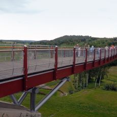
Drachenschwanz Brücke
3.5 km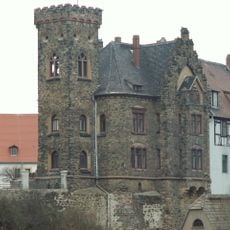
Schloss Ronneburg
3.6 km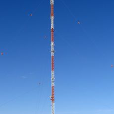
Sender Gera-Ronneburg
2.7 km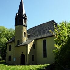
Burgkirche Posterstein
5.4 km
Rittergut Kaimberg
5.7 km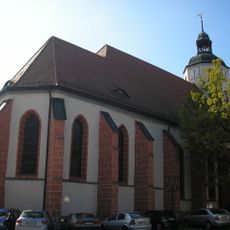
Stadtkirche St. Marien
3.6 km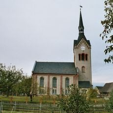
Dorfkirche Nischwitz
5.7 km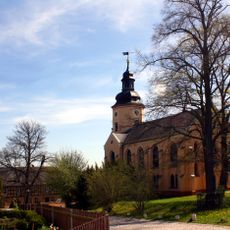
Kirche Rückersdorf
1.9 km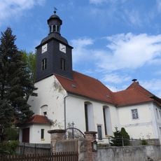
Kirche Kauern
3.8 km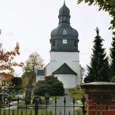
Protestant Church Linda
2.8 km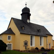
St. Elisabeth (Letzendorf)
5 km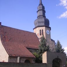
Protestant Church (Heukewalde)
5.3 km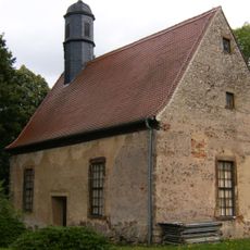
Church Kaimberg
5.7 km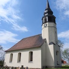
Protestant Church Hilbersdorf
3.4 km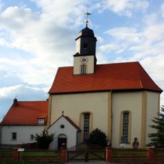
Kirche Gauern
4.4 km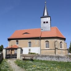
Protestant Church (Reust)
476 m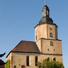
Protestant Church (Paitzdorf)
2.5 km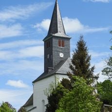
Protestant Church (Haselbach)
3.1 km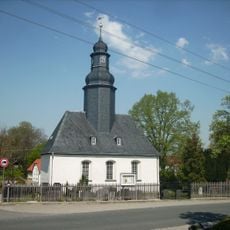
Protestant Church (Vogelgesang)
4.2 km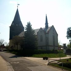
Protestant Church (Braunichswalde)
4 km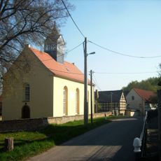
Protestant Church (Mennsdorf)
3.6 km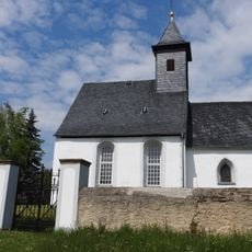
Protestant Church (Pohlen)
3.4 km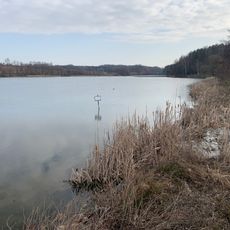
Talsperre Pohlen
4.1 km
Protestant Church (Raitzhain)
4.2 km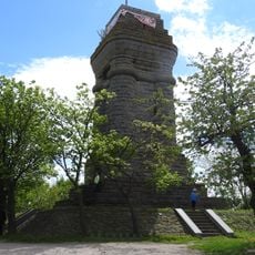
Bismarck Tower
27 m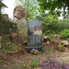
War memorial Haselbach (Rückersdorf)
3.1 km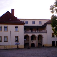
Schloss Kauern
3.8 kmReviews
Visited this place? Tap the stars to rate it and share your experience / photos with the community! Try now! You can cancel it anytime.
Discover hidden gems everywhere you go!
From secret cafés to breathtaking viewpoints, skip the crowded tourist spots and find places that match your style. Our app makes it easy with voice search, smart filtering, route optimization, and insider tips from travelers worldwide. Download now for the complete mobile experience.

A unique approach to discovering new places❞
— Le Figaro
All the places worth exploring❞
— France Info
A tailor-made excursion in just a few clicks❞
— 20 Minutes