
Wasserfall bei Veitlahm, Wasserfall in Deutschland
Location: Mainleus
Elevation above the sea: 380 m
Length: 3 m
Width: 30 m
GPS coordinates: 50.12612,11.37761
Latest update: March 3, 2025 14:31


Wernstein Castle (Upper Franconia)
1.3 km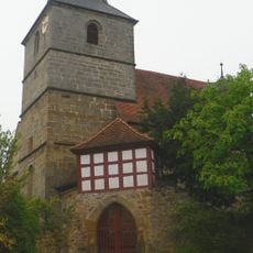
Evangelische
1.1 km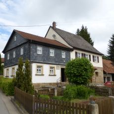
Cultural heritage D-4-77-136-22 in Mainleus
2.1 km
Schloss
1.7 km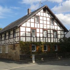
Cultural heritage D-4-77-136-61 in Mainleus
2.3 km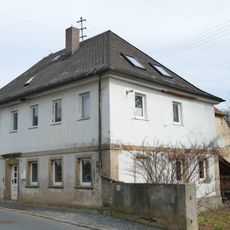
Wohnhaus
1.8 km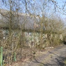
Rindergarten
1.1 km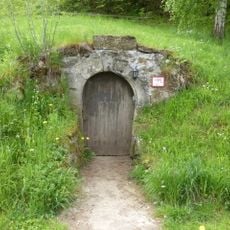
Wappen
1.5 km
Cultural heritage D-4-77-136-78 in Mainleus
1.4 km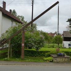
Ziehbrunnen
1.9 km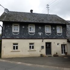
Cultural heritage D-4-77-136-19 in Mainleus
1.9 km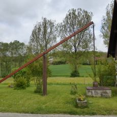
Ziehbrunnen
1.7 km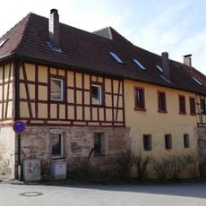
Wirtshaus zum Patersberg
1.1 km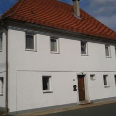
Schule
2.3 km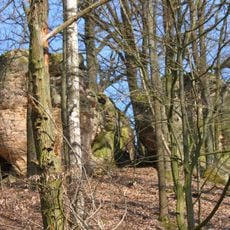
Teufelsfelsen WNW von Veitlahm (Großer Stein)
408 m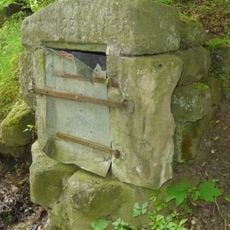
Brunnen
2 km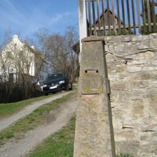
Meilenstein
2.3 km
Wohnstallhaus
1.1 km
Kantorhaus
1.1 km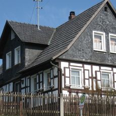
Bausölde
2.2 km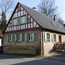
Cultural heritage D-4-77-136-79 in Mainleus
1.2 km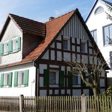
Kleinhaus
921 m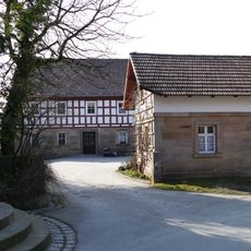
Wohnstallhaus
1.1 km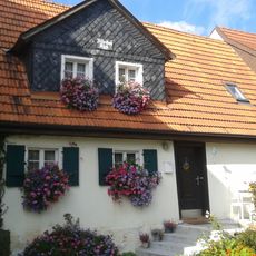
Wohnstallbau
2.2 km
Cultural heritage D-4-77-136-139 in Mainleus
1.1 km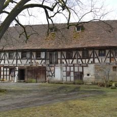
Forsthaus
1.8 km
Prötschenbach
1.6 km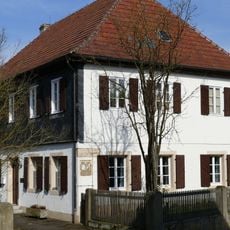
Pfarrhaus
1.2 kmReviews
Visited this place? Tap the stars to rate it and share your experience / photos with the community! Try now! You can cancel it anytime.
Discover hidden gems everywhere you go!
From secret cafés to breathtaking viewpoints, skip the crowded tourist spots and find places that match your style. Our app makes it easy with voice search, smart filtering, route optimization, and insider tips from travelers worldwide. Download now for the complete mobile experience.

A unique approach to discovering new places❞
— Le Figaro
All the places worth exploring❞
— France Info
A tailor-made excursion in just a few clicks❞
— 20 Minutes