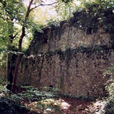
Hangried Wieden, Natural monument in Hohentengen am Hochrhein, Baden-Württemberg, Germany
Location: Hohentengen am Hochrhein
GPS coordinates: 47.58251,8.38273
Latest update: November 22, 2025 15:34
Weisswasserstelz
1.5 km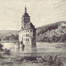
Schwarzwasserstelz
1.6 km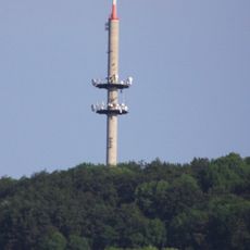
Sender Wannenberg
2.9 km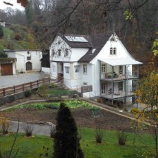
Guggenmühle
1.5 km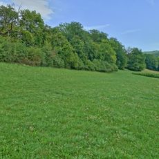
Orchideenwiese Küßnach
2.3 km
Hochrhein östl. Waldshut
2.1 km
Sand ditch, part of the late Roman Rhine fortifications
1.3 km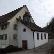
Castle chapel
2.9 km
Hohentengen
2.2 km
Umgebung Ruine Weißwasserstelz, Mühle, Bachmündung
1.5 km
Fortified battlefield "Bleiche"
2.1 km
Seiler
2.4 km
«Zum Rössli« Inn
2.7 km
Mill
2.4 km
Salmen Inn
1.9 km
Farmhouse
2.4 km
Wannenberg
2.9 km
Warte Bleiche
2.3 km
Residential building Dorfstrasse 29
2.9 km
Badi Fisibach
2.3 km
Sisyphus
2.7 km
Sculpture, Work of art
2.7 km
Scenic viewpoint
2.8 km
Wayside cross
1.3 km
Wayside cross
1.5 km
Catholic church building, wayside cross, Christianity
2.9 km
Wayside cross, Christianity
2.8 km
Steinlebach
1.1 kmReviews
Visited this place? Tap the stars to rate it and share your experience / photos with the community! Try now! You can cancel it anytime.
Discover hidden gems everywhere you go!
From secret cafés to breathtaking viewpoints, skip the crowded tourist spots and find places that match your style. Our app makes it easy with voice search, smart filtering, route optimization, and insider tips from travelers worldwide. Download now for the complete mobile experience.

A unique approach to discovering new places❞
— Le Figaro
All the places worth exploring❞
— France Info
A tailor-made excursion in just a few clicks❞
— 20 Minutes