
Strasseneinschnitt in Burgthann, outcrop in Germany
Location: Burgthann
Elevation above the sea: 415 m
Length: 75 m
Width: 5 m
GPS coordinates: 49.35244,11.31713
Latest update: March 3, 2025 17:18

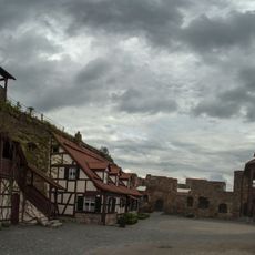
Burgruine Burgthann
293 m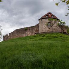
Burgberg in Burgthann
365 m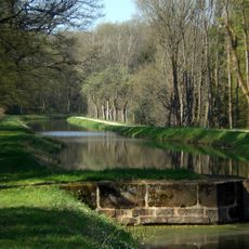
Abschnitt des Ludwig-Donau-Main-Kanals in Burgthann
934 m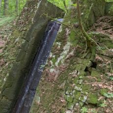
Tiefenbachabsturz beim Distellochdamm
849 m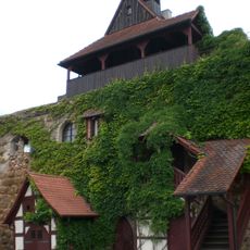
Burgkapelle Burgstraße 1 (D-5-74-117-2#2)
321 m
Rathaus Burgthann
208 m
Burgruine Burgstraße 9 (D-5-74-117-2#7)
165 m
Kreuz in Burgthann
422 m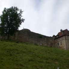
Burgruine Burgstraße 1 a (D-5-74-117-2#5)
300 m
Palas Burgstraße 1 (D-5-74-117-2#1)
299 m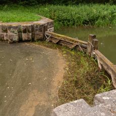
Kanalsperre westlicher Distellochdamm
880 m
Burgruine Burgstraße 1 (D-5-74-117-2#3)
313 m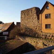
Burgruine Burgbergweg 4 (D-5-74-117-2#6)
291 m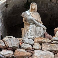
Burgruine Burgstraße 1 (D-5-74-117-2#4)
312 m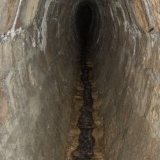
Durchgehender Entwässerungsstollen
990 m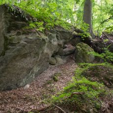
Ehemaliger Steinbruch nördlich des Distellochdamms
832 m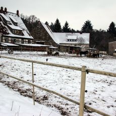
Gutshof, Gutshaus in Burgthann
643 m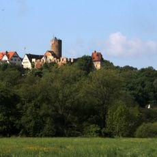
Cultural heritage D-5-6633-0021 in Burgthann
294 m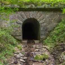
Auslass
900 m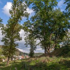
Drei Burgeichen in Burgthann
365 m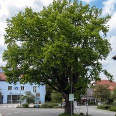
Burgthanner Alteiche
182 m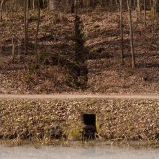
Oberflächenwasser Einlauf bei Rübleinshof
885 m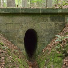
Nördlicher Auslass des Entwässerungsstollen
924 m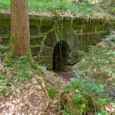
Auslass des westlichen Blindstollen
876 m
Anwesen Obere Eichenstraße 4
383 m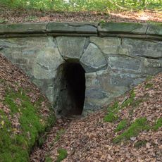
Nördlicher Auslass des Blindstollen
997 m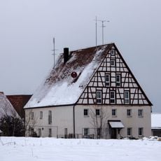
Ehemaliges Wohnstallhaus in Burgthann
143 m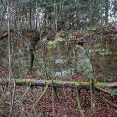
Ehemaliger Steinbruch südlich des Distellochdamms
974 mReviews
Visited this place? Tap the stars to rate it and share your experience / photos with the community! Try now! You can cancel it anytime.
Discover hidden gems everywhere you go!
From secret cafés to breathtaking viewpoints, skip the crowded tourist spots and find places that match your style. Our app makes it easy with voice search, smart filtering, route optimization, and insider tips from travelers worldwide. Download now for the complete mobile experience.

A unique approach to discovering new places❞
— Le Figaro
All the places worth exploring❞
— France Info
A tailor-made excursion in just a few clicks❞
— 20 Minutes