
Riedried, nature reserve in Rheinland-Pfalz, Germany
Location: Wörth am Rhein
Inception: 1984
GPS coordinates: 49.03110,8.22850
Latest update: March 12, 2025 21:40
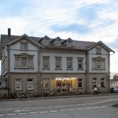
Wörth (Rhein) station
3.6 km
Maxau Rhine Bridge
5.5 km
Pegel Maxau
5.7 km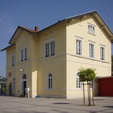
Kandel station
5.8 km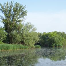
Altrhein Maxau
6 km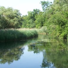
Burgau
6.5 km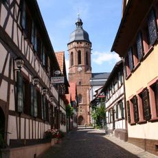
St. Georg (Kandel)
6.3 km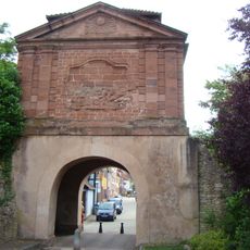
Porte de Landau, Lauterbourg
7.1 km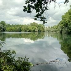
Goldgrund
4.6 km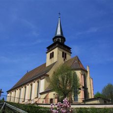
Église de la Trinité de Lauterbourg
7.3 km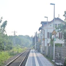
Neuburg station
4.4 km
Bremengrund
7.1 km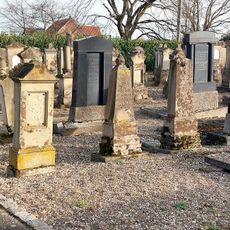
Jewish cemetery in Lauterbourg
7.2 km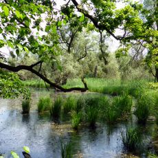
Altrhein Neuburgweier
6.4 km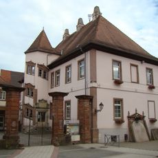
Château épiscopal de Lauterbourg
7.3 km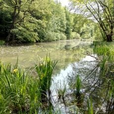
Stixwörth
4.8 km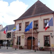
Town hall of Lauterbourg
7.3 km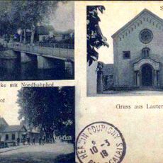
Lauterbourg synagogue
7.3 km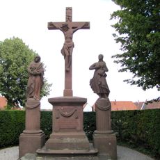
Calvary of Lauterbourg
7.3 km
Neuburger Altrhein, südlicher Teil
5.7 km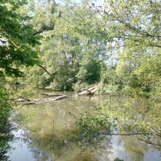
Neuburger Altrhein, westlicher Teil
4.1 km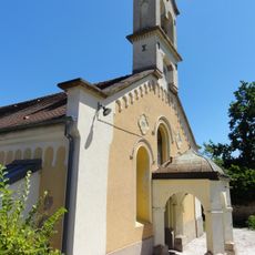
Église protestante de Lauterbourg
7.2 km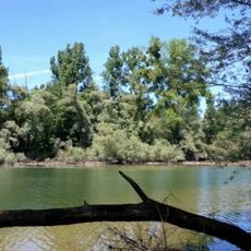
Altrhein Neuburgweier
6.8 km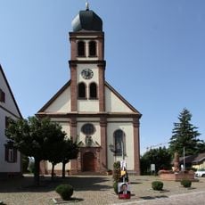
St. Michael (Hagenbach)
2 km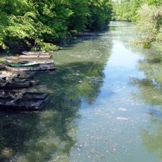
Rheinaue
6.6 km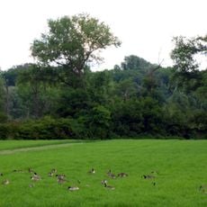
Burgau
6.7 km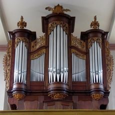
Orgue de tribune de l'église de la Trinité de Lauterbourg
7.3 km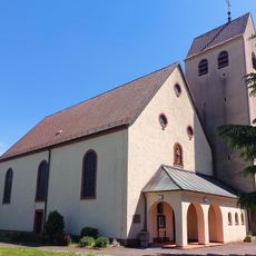
St. Bartholomäus
5.7 kmReviews
Visited this place? Tap the stars to rate it and share your experience / photos with the community! Try now! You can cancel it anytime.
Discover hidden gems everywhere you go!
From secret cafés to breathtaking viewpoints, skip the crowded tourist spots and find places that match your style. Our app makes it easy with voice search, smart filtering, route optimization, and insider tips from travelers worldwide. Download now for the complete mobile experience.

A unique approach to discovering new places❞
— Le Figaro
All the places worth exploring❞
— France Info
A tailor-made excursion in just a few clicks❞
— 20 Minutes