
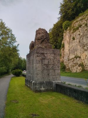
Felsen am Löwendenkmal bei Bad Abbach, Felsen im Landkreis Kelheim in Bayern
Location: Bad Abbach
Elevation above the sea: 338 m
Length: 250 m
Width: 100 m
Website: http://www.umweltatlas.bayern.de/mapapps/resources/reports/geotope/generateBericht.pdf?additionallayerfieldvalue=273G002
GPS coordinates: 48.92717,12.02108
Latest update: March 4, 2025 10:57
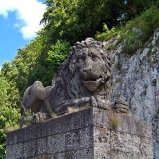
Bad Abbach Eiermühle Löwendenkmal
25 m
Burg Abbach
2.1 km
St. Nikolaus (Bad Abbach)
1.7 km
Cultural heritage D-2-7037-0168 in Kelheim
2.8 km
Donaustraße 56
2.4 km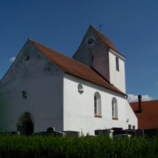
St. Nikolaus (Graßlfing)
3.8 km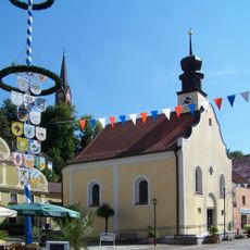
St. Christophorus
1.7 km
Donaustraße 38
2.1 km
Donaustraße 52
2.3 km
Zur Heiligen Familie
1.8 km
Pfarrhof
4.3 km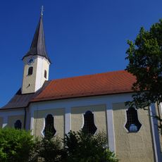
Kirche St. Bartholomäus
1.4 km
St. Martin
384 m
Kirche St. Nikolaus
3.4 km
Mariä Himmelfahrt
2.2 km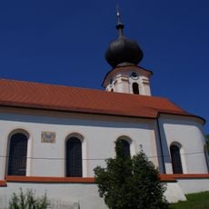
Katholische Filialkirche St. Georg
3 km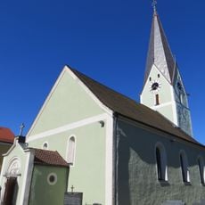
Katholische Pfarrkirche St. Maria Immaculata
2.7 km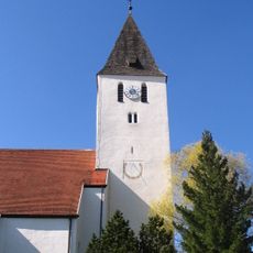
Katholische Pfarrkirche Mariä Aufnahme in den Himmel
3.8 km
Katholische Kapelle der Schmerzhaften Mutter Gottes
2.4 km
Pfarrhof
408 m
Kellergebäude eines Amtshofs des ehemaligen Benediktinerklosters Prüfening
2.5 km
Mutterhaus und Noviziat der Eremiten-Kongregation
2.5 km
Brauereigasthof (Teugn)
3.8 km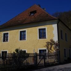
Wohnhaus
2.4 km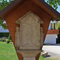
Säulenbildstock
3.5 km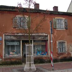
Wohn- und Geschäftshaus
1.8 km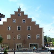
Bürgerhaus
1.7 km
Ehemaliges Rathaus
1.7 kmReviews
Visited this place? Tap the stars to rate it and share your experience / photos with the community! Try now! You can cancel it anytime.
Discover hidden gems everywhere you go!
From secret cafés to breathtaking viewpoints, skip the crowded tourist spots and find places that match your style. Our app makes it easy with voice search, smart filtering, route optimization, and insider tips from travelers worldwide. Download now for the complete mobile experience.

A unique approach to discovering new places❞
— Le Figaro
All the places worth exploring❞
— France Info
A tailor-made excursion in just a few clicks❞
— 20 Minutes