
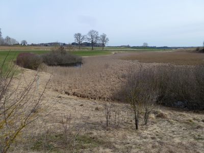
Moränensee NW von Unterfinning, Geotop in Landkreis Landsberg a.Lech in Bavaria, Germany
Location: Finning
Elevation above the sea: 635 m
Length: 250 m
Width: 150 m
Website: http://www.umweltatlas.bayern.de/mapapps/resources/reports/geotope/generateBericht.pdf?additionallayerfieldvalue=181R006
GPS coordinates: 48.03199,10.98921
Latest update: March 18, 2025 16:05
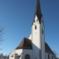
Zur Schmerzhaften Muttergottes (Unterfinning)
1.6 km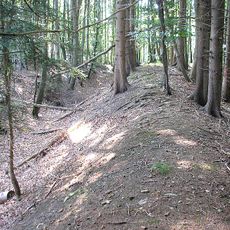
Schanze Unterfinning
2.4 km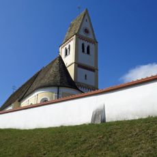
Hl. Kreuz
2.2 km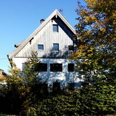
Pfarrhaus (Oberfinning)
2.1 km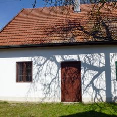
Ehem. Wagnerei(Schöffelding)
3.7 km
Hauptstrasse Mariensaeule
2.3 km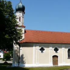
Chapel Hofstetten
3 km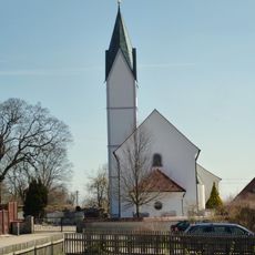
Sankt Urban
3.9 km
St. Sebastian
1.9 km
Hart Hartkapelle
4 km
St. Jakob
3.5 km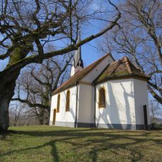
Katholische Kapelle St. Willibald
2 km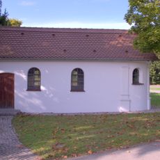
Chapel Hofstetten
2.4 km
Hl. Dreifaltigkeit
4.6 km
Schutz des Windachtales im Markt Dießen a. Ammersee und den Gemeinden Hofstetten, Finning und Windach als LSG
2.4 km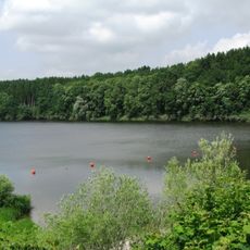
Landschaftsteile um den Windachspeicher
3.9 km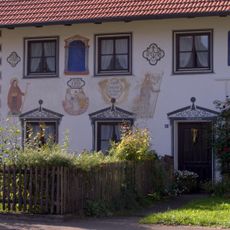
Wandmalereien an der Ostseite
3.5 km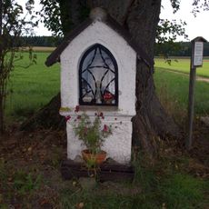
Hofstetten-Nähe Landsberger Straße-Bildstock
3.1 km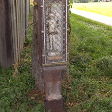
Hofstetten-Roßgemeinde-Bildstock
3.2 km
Westerschondorf Schwaige
1.6 km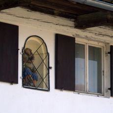
Hausfigur
3.7 km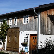
Ehemals Kleinbauernhaus
2.2 km
Ehemals Wagnerwerkstatt
3.7 km
Ehemals Schulhaus
3.8 km
Hofstetten-Landsberger Straße-Grenzstein
2.8 km
Hofstetten
2.2 km
Ehemals Mühle
2.4 km
Ehemals Kleinbauernhaus
2.3 kmReviews
Visited this place? Tap the stars to rate it and share your experience / photos with the community! Try now! You can cancel it anytime.
Discover hidden gems everywhere you go!
From secret cafés to breathtaking viewpoints, skip the crowded tourist spots and find places that match your style. Our app makes it easy with voice search, smart filtering, route optimization, and insider tips from travelers worldwide. Download now for the complete mobile experience.

A unique approach to discovering new places❞
— Le Figaro
All the places worth exploring❞
— France Info
A tailor-made excursion in just a few clicks❞
— 20 Minutes