
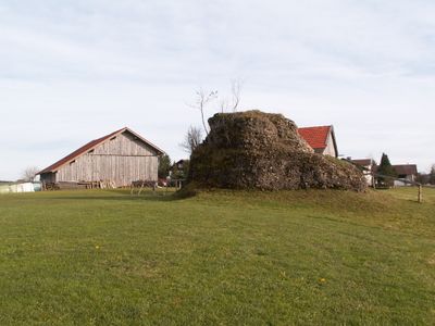
Findling W von Görisried, Geotop in Landkreis Ostallgäu in Bavaria, Germany
Location: Görisried
Elevation above the sea: 827 m
Length: 13 m
Width: 7 m
GPS coordinates: 47.70876,10.50090
Latest update: March 9, 2025 04:58
Maria Patrona Bavariä
2.3 km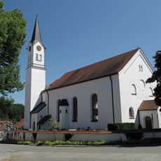
St. Oswald
696 m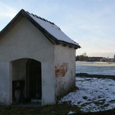
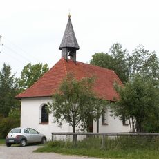
Wegkapelle
1.3 km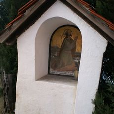
Bildstock
766 m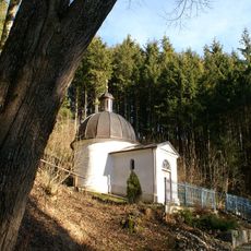
Ölbergkapelle
940 m
Kapelle St. Ursula
1.7 km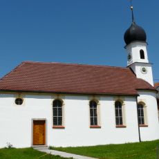
Kapelle St. Petrus von Alcantara
2.6 km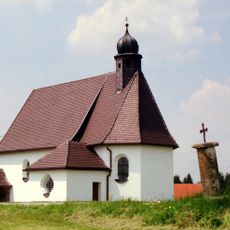
Flight into Egypt chapel
2.7 km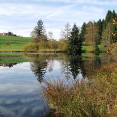
Kempter Wald mit Oberem Rottachtal
2.1 km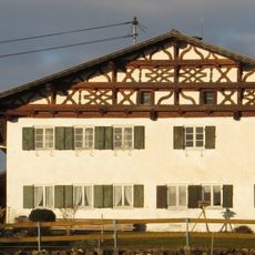
Bauernhaus
2.6 km
Wertachdurchbruch
2.6 km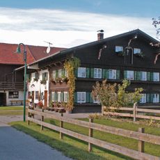
Einzelhof
1.1 km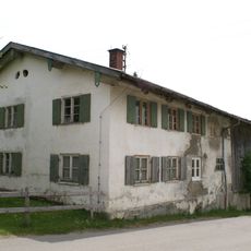
Bauernhaus
2.3 km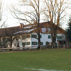
Bauernhaus
767 m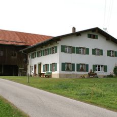
Bauernhaus
506 m
Bauernhaus
582 m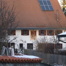
Bauernhaus
779 m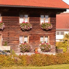
Bauernhaus
640 m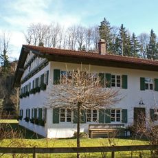
Bauernhaus
704 m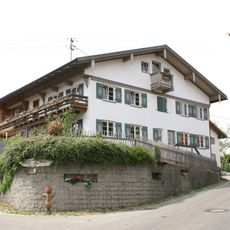
Bauernhaus
624 m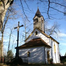
Kalvarienberg mit Kapelle und Kreuzwegstationen
923 m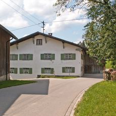
Bauernhaus
2.6 km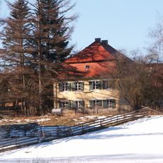
Ehemaliges Forstdienstgebäude
728 m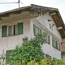
Bauernhaus
614 m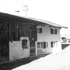
Bauernhaus
837 m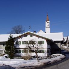
Bauernhaus
787 m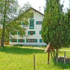
Hausfigur
3.1 km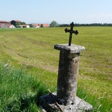
Pestsäule
2.7 kmReviews
Visited this place? Tap the stars to rate it and share your experience / photos with the community! Try now! You can cancel it anytime.
Discover hidden gems everywhere you go!
From secret cafés to breathtaking viewpoints, skip the crowded tourist spots and find places that match your style. Our app makes it easy with voice search, smart filtering, route optimization, and insider tips from travelers worldwide. Download now for the complete mobile experience.

A unique approach to discovering new places❞
— Le Figaro
All the places worth exploring❞
— France Info
A tailor-made excursion in just a few clicks❞
— 20 Minutes