
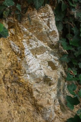
Kristallinbrekzien-Aufschluss an Meyers Keller, Geotop in Landkreis Donau-Ries in Bavaria, Germany
Location: Nördlingen
Elevation above the sea: 460 m
Length: 12 m
Width: 6 m
GPS coordinates: 48.84098,10.49350
Latest update: April 4, 2025 00:44
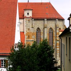
St. Salvator Nördlingen
894 m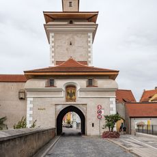
Reimlinger Tor
864 m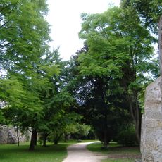
Frickhinger-Anlagen
807 m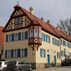
Lange Gasse 19
870 m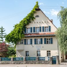
Adamstraße 9
819 m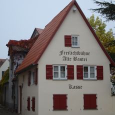
An der Reimlinger Mauer 5
813 m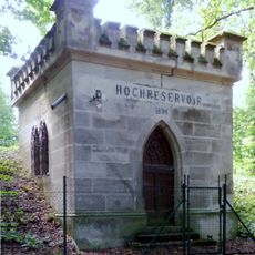
Hochreservoirs Marienhöhe
357 m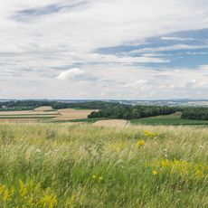
Marienhöhe und Stoffelsberg
142 m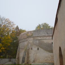
Alte Bastei
797 m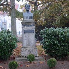
Melchior Meyer Denkmal Augsburger Straße
811 m
Oskar Meyer Straße 10
696 m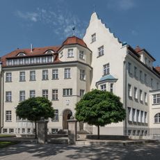
Bürgermeister-Reiger-Straße 36
882 m
Beim Kastanienbaum 1
814 m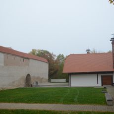
Basteigraben 4 (Nördlingen)
770 m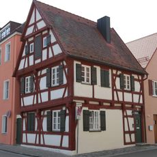
Lebergasse
890 m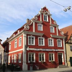
Gasthaus Drei Mohren
887 m
Oskar Meyer Straße 1
764 m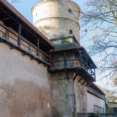
Feilturm
811 m
Bürgermeister-Reiger-Straße 27
888 m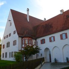
Ehemaliges Karmeliterkloster, jetzt Pfarrhof
854 m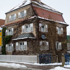
Oskar Meyer Straße
600 m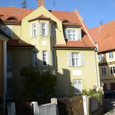
Münzgasse 18
897 m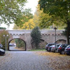
Brücke am Reimlinger Tor
854 m
Siehe Liste der Baudenkmäler in Nördlingen#Ensembles; ''nicht nachqualifiziert''
695 m
Wohnhaus
847 m
Fachwerkstadel
830 m
Bürgermeister-Reiger-Straße 29
877 m
Zeitblomweg 1
489 mVisited this place? Tap the stars to rate it and share your experience / photos with the community! Try now! You can cancel it anytime.
Discover hidden gems everywhere you go!
From secret cafés to breathtaking viewpoints, skip the crowded tourist spots and find places that match your style. Our app makes it easy with voice search, smart filtering, route optimization, and insider tips from travelers worldwide. Download now for the complete mobile experience.

A unique approach to discovering new places❞
— Le Figaro
All the places worth exploring❞
— France Info
A tailor-made excursion in just a few clicks❞
— 20 Minutes