
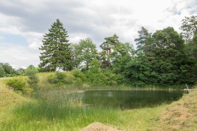
Gunzenheimer Gump ESE von Gunzenheim, Geotop in Landkreis Donau-Ries in Bavaria, Germany
Location: Kaisheim
Elevation above the sea: 500 m
Length: 50 m
Width: 30 m
GPS coordinates: 48.77930,10.77772
Latest update: March 7, 2025 21:38
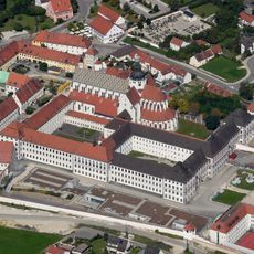
Kaisheim Abbey
2 km
Frankenweg
5.9 km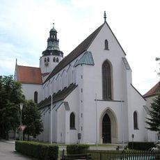
Mariä Himmelfahrt
2 km
Villa Barbara
1.2 km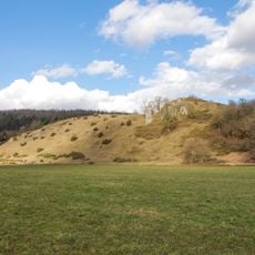
Burgstall Wöllwart
5.3 km
Dekanat Nördlingen
2.4 km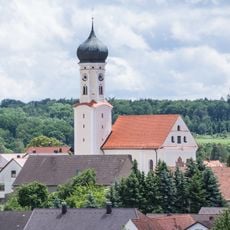
St. Margareta
2.4 km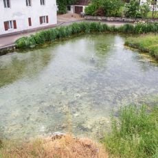
Karstquelle Brünsee
4.8 km
Rauhe Burg östlich Ebermergen
4.9 km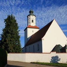
St. Laurentius
5.3 km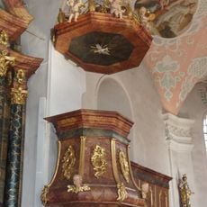
Pulpit of St. Ulrich
3.5 km
Priel
4.4 km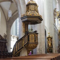
Pulpit of Mariä Himmelfahrt (Kaisheim)
2 km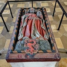
Tomb of Heinrich von Lechsgmünd
2 km
St. Peter und Paul
5.4 km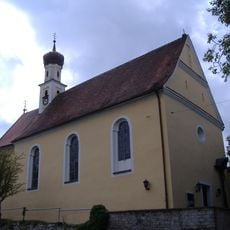
St. Thomas
1.1 km
Kapelle
4.2 km
Kapelle
4 km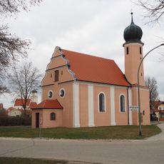
Catholic Chapel
5.7 km
Donauwörther Forst mit Standortübungsplatz und Harburger Karab
2.5 km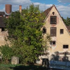
Ehemals Kanzlei und Klosterbrauerei, jetzt Gasthaus
2.1 km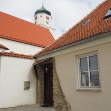
Schulberg 7
6 km
Eisenbahnbrücke
5.6 km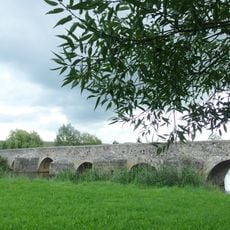
Wörnitz-Steinbrücke (Ebermergen)
5.2 km
Sulz
2.9 km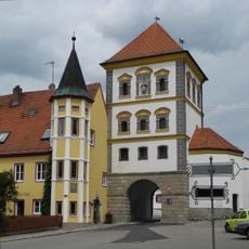
Torturm (Kaisheim)
1.9 km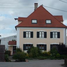
Vierseithof
4.9 km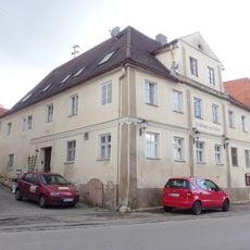
Gasthaus zur Brücke
5.3 kmVisited this place? Tap the stars to rate it and share your experience / photos with the community! Try now! You can cancel it anytime.
Discover hidden gems everywhere you go!
From secret cafés to breathtaking viewpoints, skip the crowded tourist spots and find places that match your style. Our app makes it easy with voice search, smart filtering, route optimization, and insider tips from travelers worldwide. Download now for the complete mobile experience.

A unique approach to discovering new places❞
— Le Figaro
All the places worth exploring❞
— France Info
A tailor-made excursion in just a few clicks❞
— 20 Minutes