
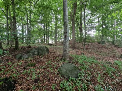
Redwitzitkuppe Bühl W von Wölsauerhammer, Geotop in Landkreis Wunsiedel i.Fichtelgeb. in Bavaria, Germany
Location: Marktredwitz
Elevation above the sea: 600 m
Length: 20 m
Width: 10 m
GPS coordinates: 50.00854,12.12272
Latest update: March 20, 2025 02:20
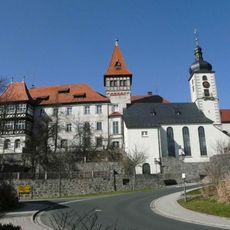
Schloss
1.7 km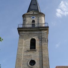
Evangelisch-lutherische Pfarrkirche St. Bartholomäus (Marktredwitz)
2.7 km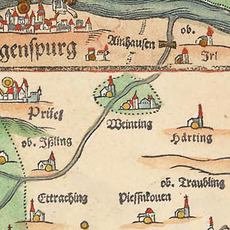
Burg Burgweinting
2.5 km
Theresienkirche
2.8 km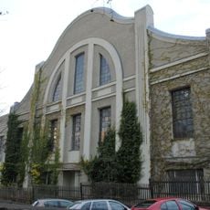
Produktionshalle
2.7 km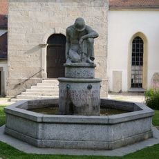
Brunnen
2.7 km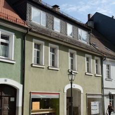
Cultural heritage D-4-79-136-63 in Marktredwitz
2.7 km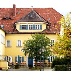
Brauerei
2.7 km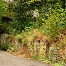
Felsenkeller
2.7 km
Gedenkstein
2.8 km
Rathaus
2.6 km
Wohn- und Geschäftshaus
2.7 km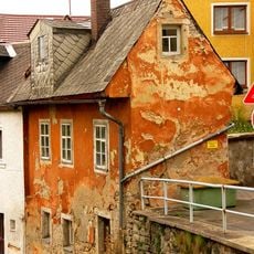
Tropfhaus
2.6 km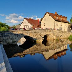
Bogenbrücke
1.7 km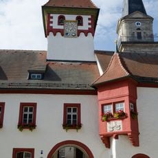
Rathaus
2.7 km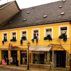
Cultural heritage D-4-79-136-66 in Marktredwitz
2.7 km
Stadtbefestigung
2.7 km
Wohn- und Geschäftshaus
2.7 km
Cultural heritage D-4-79-136-76 in Marktredwitz
2.8 km
Wohn- und Geschäftshaus
2.7 km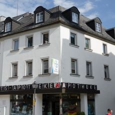
Wohn- und Geschäftshaus
2.8 km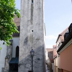
Pfarrkirche
2.7 km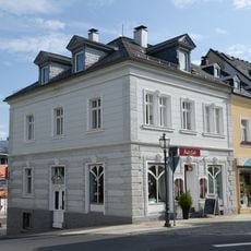
Wohn- und Geschäftshaus
2.6 km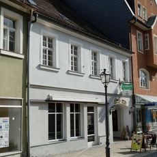
Cultural heritage D-4-79-136-62 in Marktredwitz
2.7 km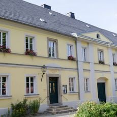
Pfarrhaus
2.7 km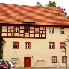
Gerberei
2.8 km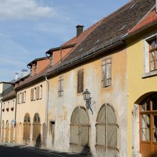
Scheune
2.4 km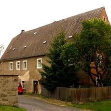
Cultural heritage D-4-79-136-14 in Marktredwitz
2.7 kmReviews
Visited this place? Tap the stars to rate it and share your experience / photos with the community! Try now! You can cancel it anytime.
Discover hidden gems everywhere you go!
From secret cafés to breathtaking viewpoints, skip the crowded tourist spots and find places that match your style. Our app makes it easy with voice search, smart filtering, route optimization, and insider tips from travelers worldwide. Download now for the complete mobile experience.

A unique approach to discovering new places❞
— Le Figaro
All the places worth exploring❞
— France Info
A tailor-made excursion in just a few clicks❞
— 20 Minutes