
Erratischer Block in Grafing, Geotop in Landkreis Ebersberg in Bavaria, Germany
Location: Grafing
Elevation above the sea: 521 m
Length: 3 m
Width: 2 m
Website: http://www.umweltatlas.bayern.de/mapapps/resources/reports/geotope/generateBericht.pdf?additionallayerfieldvalue=175R004
GPS coordinates: 48.04748,11.96939
Latest update: April 7, 2025 23:24
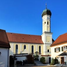
St. Ägidius (Grafing)
62 m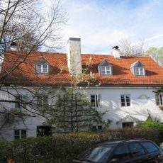
Hammerschmiede Grafing
1 km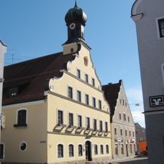
Rathaus (Grafing bei München)
372 m
Museum der Stadt Grafing
446 m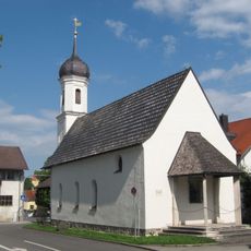
Katholische Filialkirche St. Leonhard
140 m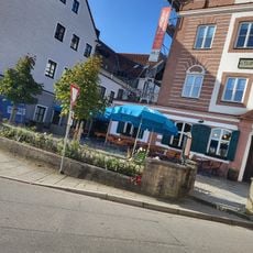
Wildbräustüberl
372 m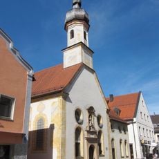
Allerheiligste Dreifaltigkeit
258 m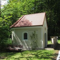
Wegkapelle
1.3 km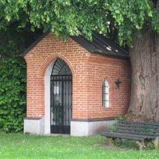
Wegkapelle St. Ägidius
195 m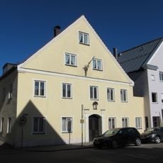
Ehemalige Gerberei
434 m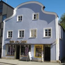
Wohn- und Geschäftshaus
301 m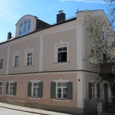
Ehemaliges Arzt- und Wohnhaus
183 m
Wohn- und Geschäftshaus des Mühlen- und Maschinenbauers Josef Stürzer
100 m
Ehemaliger Adelssitz, Sitz der Hofmark Eisendorf und Patrimonialgericht Elkofen, Brauerei seit 1499
383 m
Mariensäule und Kriegerdenkmal
332 m
Ehemalige Schmiede: Wohnhaus
1.8 km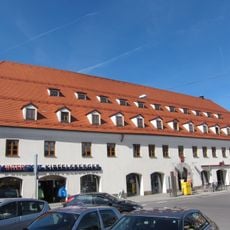
Ehemaliger Gasthof
326 m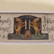
Inschrifttafel
225 m
Ehemalige Nebengebäude
323 m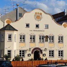
Gasthaus
334 m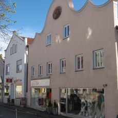
Ehemaliges Handwerkerhaus
420 m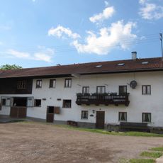
Bundwerk
1.4 km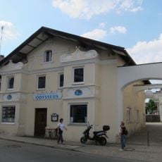
Wohn- und Geschäftshaus
354 m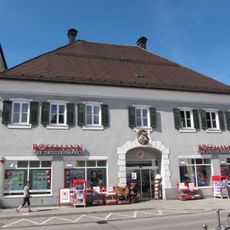
Wohn- und Geschäftshaus
291 m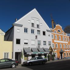
Handwerkerhaus
445 m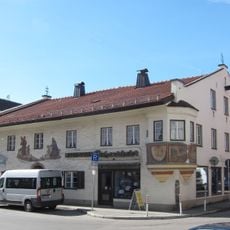
Ehemaliges Handwerkerhaus
210 m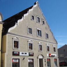
Geschäftshaus
391 m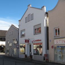
Ehemalige Handwerkerhäuser
419 mReviews
Visited this place? Tap the stars to rate it and share your experience / photos with the community! Try now! You can cancel it anytime.
Discover hidden gems everywhere you go!
From secret cafés to breathtaking viewpoints, skip the crowded tourist spots and find places that match your style. Our app makes it easy with voice search, smart filtering, route optimization, and insider tips from travelers worldwide. Download now for the complete mobile experience.

A unique approach to discovering new places❞
— Le Figaro
All the places worth exploring❞
— France Info
A tailor-made excursion in just a few clicks❞
— 20 Minutes