
Kieselstein SW von Hohenzant, Geotop in Landkreis Amberg-Sulzbach in Bavaria, Germany
Location: Vilseck
Elevation above the sea: 480 m
Length: 8 m
Width: 6 m
Website: http://www.umweltatlas.bayern.de/mapapps/resources/reports/geotope/generateBericht.pdf?additionallayerfieldvalue=371R009
GPS coordinates: 49.58215,11.79038
Latest update: March 4, 2025 19:37
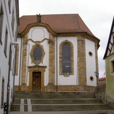
St. Ägidius
3.4 km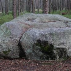
Teufelsstein (Hahnbach)
1.1 km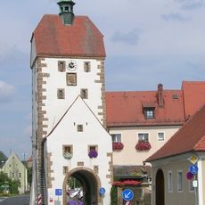
Vogelturm
3.5 km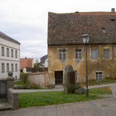
Pfarrhaus
3.4 km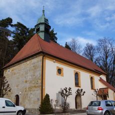
Heilig Kreuz
1.5 km
St. Georg
2.7 km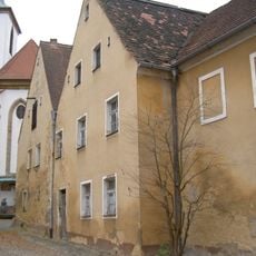
Ehemaliges Kaplanhaus
3.5 km
Nepomuk
3.4 km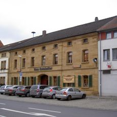
Wohnhaus
3.5 km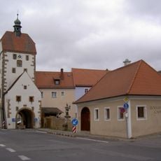
Zollhaus (Vilseck)
3.4 km
Ehemaliges Gasthaus
3.4 km
Vilseck Kirchgasse 2
3.5 km
Vilseck Klostergasse 9
3.4 km
Wohnhaus
3.4 km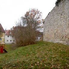
City walls of Vilseck
3.4 km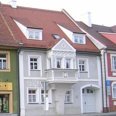
Wohnhaus, sogenanntes Wünnenberghaus
3.5 km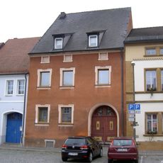
Ehemaliges Ackerbürgerhaus
3.5 km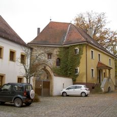
Vilseck Klostergasse 11
3.4 km
Gasthaus
3.5 km
Ehemaliges Ackerbürgerhaus
3.5 km
Wohnhaus
3.3 km
Ehemaliges Ackerbürgerhaus
3.5 km
Frühmesshaus
3.4 km
Ehemaliges Ackerbürgerhaus
3.4 km
Vorstadttor, sogenanntes Hafnertor
3.3 km
Ehemaliges Ackerbürgerhaus
3.5 km
Ehemaliger Gasthof
3.6 km
Ackerbürgerhaus
3.5 kmReviews
Visited this place? Tap the stars to rate it and share your experience / photos with the community! Try now! You can cancel it anytime.
Discover hidden gems everywhere you go!
From secret cafés to breathtaking viewpoints, skip the crowded tourist spots and find places that match your style. Our app makes it easy with voice search, smart filtering, route optimization, and insider tips from travelers worldwide. Download now for the complete mobile experience.

A unique approach to discovering new places❞
— Le Figaro
All the places worth exploring❞
— France Info
A tailor-made excursion in just a few clicks❞
— 20 Minutes