
Höhlenburg Loch, Geotop in Landkreis Regensburg in Bavaria, Germany
Location: Nittendorf
Elevation above the sea: 410 m
Length: 120 m
Width: 30 m
Website: http://www.umweltatlas.bayern.de/mapapps/resources/reports/geotope/generateBericht.pdf?additionallayerfieldvalue=375A026
GPS coordinates: 49.01525,11.92906
Latest update: April 8, 2025 03:36
Gaststätte Röhrl
3.6 km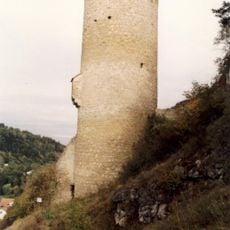
Loch Castle
28 m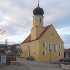
Schmerzhafte Muttergottes (Thumhausen)
1.1 km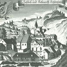
Burgstall Schönhofen
2.4 km
Burgstall Stifterfelsen
3.5 km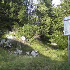
Burgstall Weihenstefen
1.4 km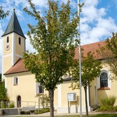
St. Johannes Baptist
2.5 km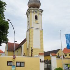
St. Wolfgang
3.6 km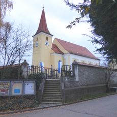
St. Katharina
2.5 km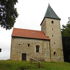
St. Nikolaus (Haugenried)
1.6 km
St. Martin (Deuerling)
2.8 km
St. Josef (Undorf)
1.2 km
Kath. Dorfkapelle St. Maria
2.1 km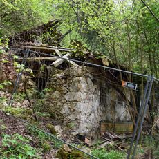
Wohnhaus, sogenanntes Stifterhäusl
3.4 km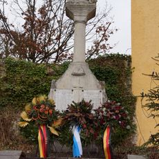
Kriegerdenkmal für 1914–18 und 1939–45
2.8 km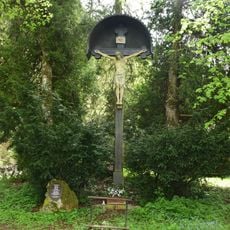
Kruzifix
1.3 km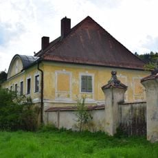
Hoftor In Stegenhof; Stegenhof 1 in Deuerling
3.3 km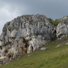
Der gelbe Felsen SE von Schönhofen
3.1 km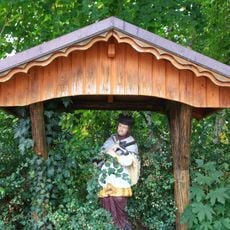
Figur des hl. Johannes Nepomuk
1.8 km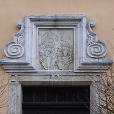
Eichhofen (Nittendorf)
200 m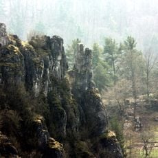
Kletterfelsen von Schönhofen
1.9 km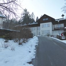
Haus Werdenfels
971 m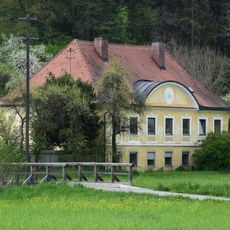
Gutshof
3.3 km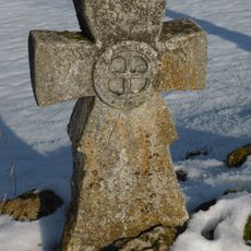
Steinkreuz
2.8 km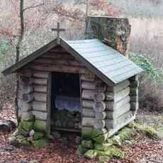
Maria zur Buche
701 m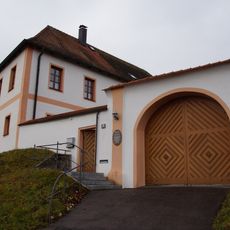
Katholisches Pfarrhaus
2.8 km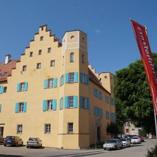
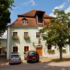
Schloss Eichhofen
210 m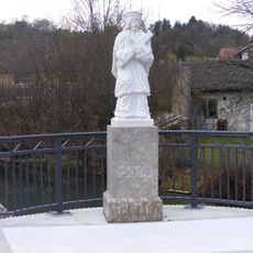
Figur des hl. Johannes Nepomuk
2.6 kmReviews
Visited this place? Tap the stars to rate it and share your experience / photos with the community! Try now! You can cancel it anytime.
Discover hidden gems everywhere you go!
From secret cafés to breathtaking viewpoints, skip the crowded tourist spots and find places that match your style. Our app makes it easy with voice search, smart filtering, route optimization, and insider tips from travelers worldwide. Download now for the complete mobile experience.

A unique approach to discovering new places❞
— Le Figaro
All the places worth exploring❞
— France Info
A tailor-made excursion in just a few clicks❞
— 20 Minutes