
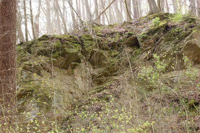
Steinbruch und Felsen SW von Rückersbach, Geotop in Landkreis Aschaffenburg in Bavaria, Germany
Location: Kleinostheim
Elevation above the sea: 175 m
Length: 30 m
Width: 25 m
GPS coordinates: 50.02571,9.08717
Latest update: March 4, 2025 14:46
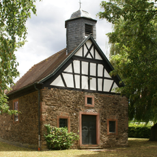
Kapelle
3.2 km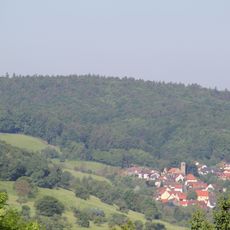
Rabengrundkopf
2.9 km
Phonolithbruch Rückersbacher Schlucht W von Johannesberg
220 m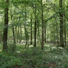
LSG Lindigwald in der Gemarkung Karlstein
3 km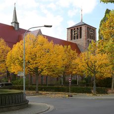
St. Laurentius
3.1 km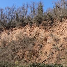
Steinbruch E von Hörstein
3 km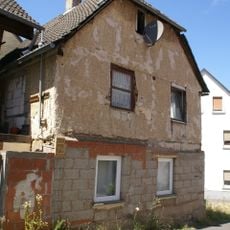
Wohnhaus
3.2 km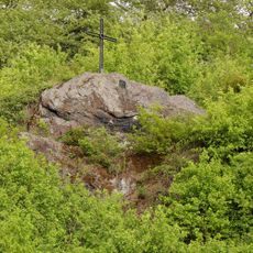
Ellet-Stein am Kalbsbuckel bei Kleinostheim
2.3 km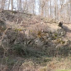
Steinbruch zwischen Hörstein und Hohl
2.4 km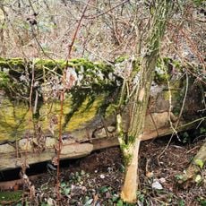
Bunker 162 Hörstein
2.7 km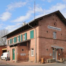
Station building at Kleinostheim station
2.8 km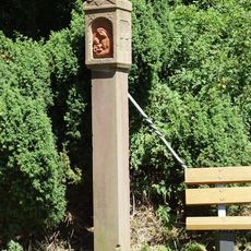
Bildstock
2.4 km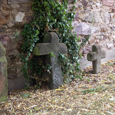
Sühnekreuz
3.2 km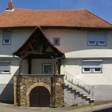
Gutshof
3.2 km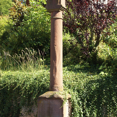
Bildstock
3.1 km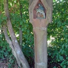
Bildstock
2.8 km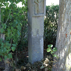
Bildstock
2.6 km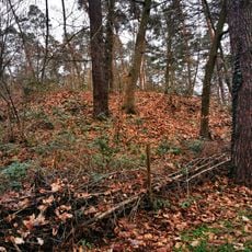
Bunker 170 Dettingen
3 km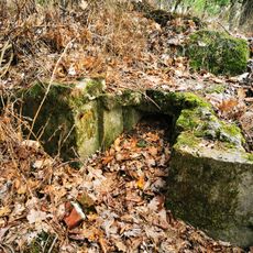
Bunker 207 Mainaschaff
3.2 km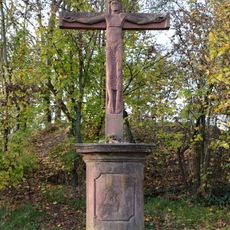
Feldkreuz
3.1 km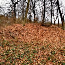
Bunker 164 Dettingen
2.8 km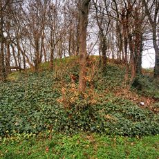
Bunker 191 Kleinostheim
3.1 km
Bildstock
2.3 km
Bunker 163 Dettingen
2.5 km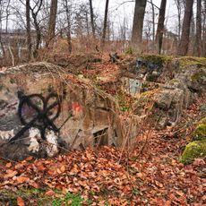
Bunker 166 Dettingen
3 km
Bunker 167 Dettingen
2.9 km
Flurkreuz
2.1 km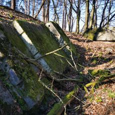
Bunker 171 Dettingen
3 kmReviews
Visited this place? Tap the stars to rate it and share your experience / photos with the community! Try now! You can cancel it anytime.
Discover hidden gems everywhere you go!
From secret cafés to breathtaking viewpoints, skip the crowded tourist spots and find places that match your style. Our app makes it easy with voice search, smart filtering, route optimization, and insider tips from travelers worldwide. Download now for the complete mobile experience.

A unique approach to discovering new places❞
— Le Figaro
All the places worth exploring❞
— France Info
A tailor-made excursion in just a few clicks❞
— 20 Minutes