
Goldbergbauspuren im Murachtal unterhalb von Tannermühle, Geotop in Landkreis Schwandorf in Bavaria, Germany
Location: Schönsee
Elevation above the sea: 580 m
Length: 700 m
Width: 200 m
Part of: Cultural heritage D-3-6440-0003 in Oberviechtach
GPS coordinates: 49.50791,12.49137
Latest update: November 19, 2025 02:23
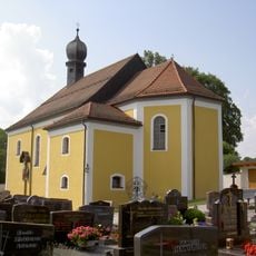
St. Vitus
2.4 km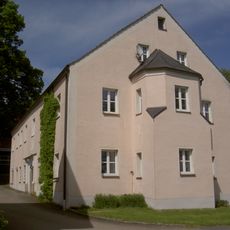
Hammerschloss
2.5 km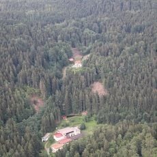
Rosenhof (Schönsee)
2.2 km
Gaisthaler Hammer
2.3 km
Dorfkapelle
2 km
Kanal Gaisthalerhammer 4 in Schönsee
2.4 km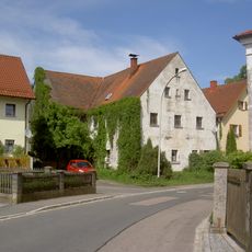
Wohnhaus
2.5 km
Villa des ehemaligen Fabrikantenbesitzers der Holzwollefabrik
2 km
Güttingloch und Goldbergbauspuren Gütting-Unterlangau
843 m
Cultural heritage D-3-6440-0003 in Oberviechtach
428 m
Cultural heritage D-3-6440-0074 in Oberviechtach
2.4 km
Cultural heritage D-3-6440-0075 in Oberviechtach
2.5 km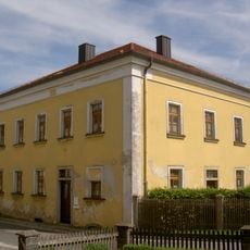
Forstdienststelle
2.5 km
Scheune Pullenried 37 in Oberviechtach
2.6 km
Waschhaus Pullenried 39 in Oberviechtach
2.6 km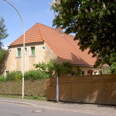
Wohnstallhaus
2.6 km
Arbeiterhaus Nähe Rosenhof in Schönsee
2.1 km
Stall Pullenried 39 in Oberviechtach
2.5 km
Grabmal Pullenried 43 in Oberviechtach
2.4 km
Wohnhaus eines Bauernhofs
2.7 km
Produktionshalle Nähe Rosenhof in Schönsee
2.1 km
Greinerschleife
626 m
Güttingloch
806 m
Wayside cross
1.6 km
Wayside shrine
2.2 km
Wayside cross
2.7 km
Wayside cross
1.6 km
Memorial stone, memorial
1.4 kmReviews
Visited this place? Tap the stars to rate it and share your experience / photos with the community! Try now! You can cancel it anytime.
Discover hidden gems everywhere you go!
From secret cafés to breathtaking viewpoints, skip the crowded tourist spots and find places that match your style. Our app makes it easy with voice search, smart filtering, route optimization, and insider tips from travelers worldwide. Download now for the complete mobile experience.

A unique approach to discovering new places❞
— Le Figaro
All the places worth exploring❞
— France Info
A tailor-made excursion in just a few clicks❞
— 20 Minutes