
Höhlenhaus Weber an der Wand in Oberaudorf, Geotop in Landkreis Rosenheim in Bavaria, Germany
Location: Oberaudorf
Elevation above the sea: 542 m
Length: 50 m
Width: 8 m
Website: http://www.umweltatlas.bayern.de/mapapps/resources/reports/geotope/generateBericht.pdf?additionallayerfieldvalue=187G005
GPS coordinates: 47.64320,12.17350
Latest update: May 2, 2025 11:57
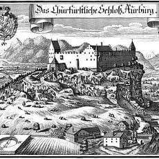
Auerburg
360 m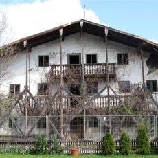
Florianistraße 3
487 m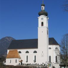
Pfarrkirche zu Unserer Lieben Frau
463 m
Villa Sachs
334 m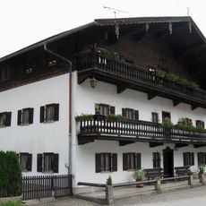
Lindenstraße 2
513 m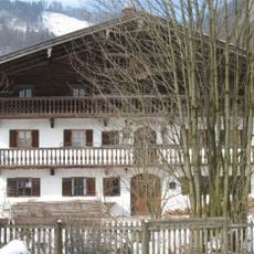
Bergweg 1
559 m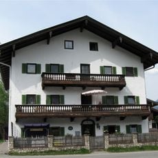
Carl-Hagen-Straße 4
593 m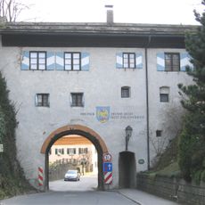
Burgtor
194 m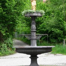
Marienbrunnen
466 m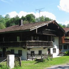
Mühlenstraße 3, 5
402 m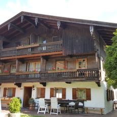
Carl-Hagen-Straße 12
608 m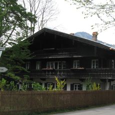
Carl-Hagen-Straße 18
624 m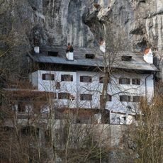
Weber an der Wand
2 m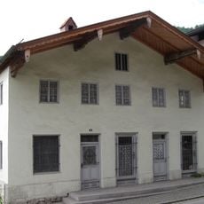
Ehemals Handwerkerhaus
450 m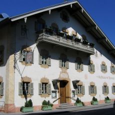
Rosenheimer Straße 3
512 m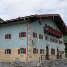
Wohnteil des ehemaligen Kramer- und Tuchschneiderhauses
418 m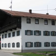
Carl-Hagen-Straße 6
611 m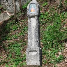
Martersäule
97 m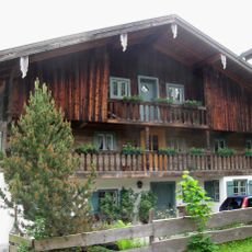
Bauernhaus, Einfirsthof
412 m
Rosenheimer Straße 125
412 m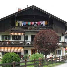
Carl-Hagen-Straße 10
600 m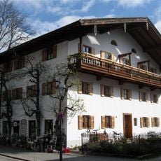
Ehemals Bauernhaus, Einfirsthof
566 m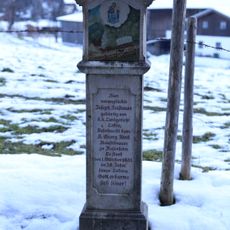
Bildstock
360 m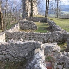
Burgruine, sog. Auerburg
329 m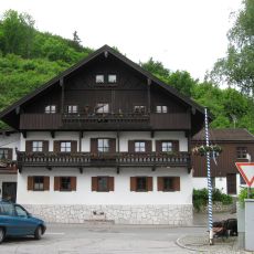
Wohnhaus
215 m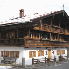
Franz-Huber-Straße 18
651 m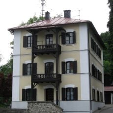
Kufsteiner Straße 20
311 m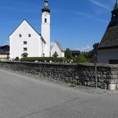
Friedhofsmauer Sankt-Josef-Spital-Straße 1 in Oberaudorf
464 mReviews
Visited this place? Tap the stars to rate it and share your experience / photos with the community! Try now! You can cancel it anytime.
Discover hidden gems everywhere you go!
From secret cafés to breathtaking viewpoints, skip the crowded tourist spots and find places that match your style. Our app makes it easy with voice search, smart filtering, route optimization, and insider tips from travelers worldwide. Download now for the complete mobile experience.

A unique approach to discovering new places❞
— Le Figaro
All the places worth exploring❞
— France Info
A tailor-made excursion in just a few clicks❞
— 20 Minutes