
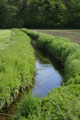
Am Landgraben, protected landscape in Bavaria, Germany
Location: Fürth
Inception: 1966
GPS coordinates: 49.50451,10.99122
Latest update: March 14, 2025 09:33
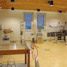
Dialysemuseum Fürth
2.3 km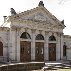
Trauerhalle
1.9 km
Steinkreuz
847 m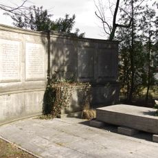
Jüdisches Kriegerdenkmal (Fürth)
1.9 km
Schloss Steinach
1.2 km
Städtischer Friedhof Fürth
2.1 km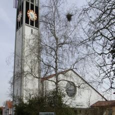
Christuskirche
1.4 km
Rednitz-, Pegnitz- und Regnitztalsystem
2.1 km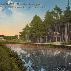
Erdbauten des Ludwig-Donau-Main-Kanals #25
1.1 km
Herboldshofer Landgraben
2.2 km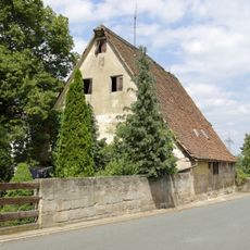
Ronhofer Hauptstraße 312
771 m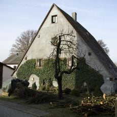
Romminggasse 9
1.5 km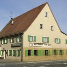
Gästehaus Kalb
1.5 km
Ronhofer Hauptstraße 192
1.5 km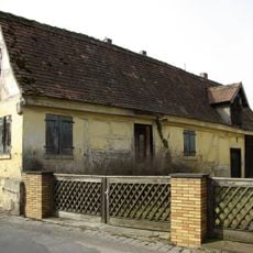
Romminggasse 17a
1.5 km
Blütenstraße 2 (Fürth)
1.6 km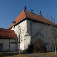
Hochbunker Kronacher Straße
1.7 km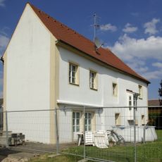
Schloss Bislohe
1.1 km
Flughafen Nürnberg-Fürth
1.8 km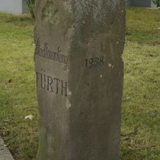
Grenzstein im Laubenweg
2.3 km
Stadelner Hauptstraße 181
2.4 km
Ronhofer Hauptstraße 200
1.4 km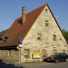
Braunsbacher Straße 10 (Fürth)
2.1 km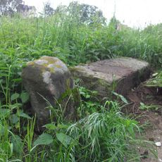
Grenzstein
2.3 km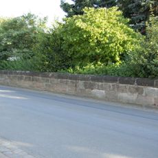
Hofmauer an der Straße
2 km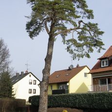
Stadelner Kiefer
843 m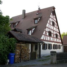
Wohnstallhaus
2.1 km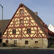
Wohnstallhaus
1.4 kmVisited this place? Tap the stars to rate it and share your experience / photos with the community! Try now! You can cancel it anytime.
Discover hidden gems everywhere you go!
From secret cafés to breathtaking viewpoints, skip the crowded tourist spots and find places that match your style. Our app makes it easy with voice search, smart filtering, route optimization, and insider tips from travelers worldwide. Download now for the complete mobile experience.

A unique approach to discovering new places❞
— Le Figaro
All the places worth exploring❞
— France Info
A tailor-made excursion in just a few clicks❞
— 20 Minutes