
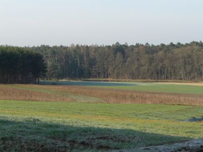
Moorbachtal, protected landscape in Bavaria, Germany
Location: Erlangen
Inception: 2004
GPS coordinates: 49.63447,10.92904
Latest update: March 8, 2025 17:37
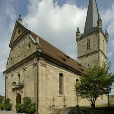
Katholische Pfarrkirche Mariä Geburt und St. Katharina
2 km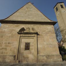
Marienkapelle
960 m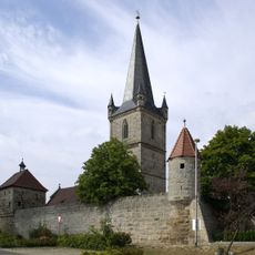
Wehrkirche Hannberg
2 km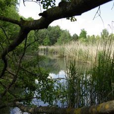
Dechsendorfer Weihergebiet
1.1 km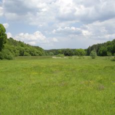
Seebachgrund
1.7 km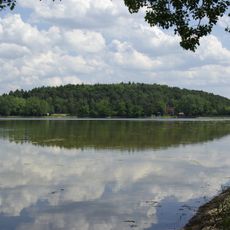
Schutz von Landschaftsteilen im Gebiet des Landkreises Höchstadt an der Aisch, LSG Großdechsendorfer Weihergebiet
1.5 km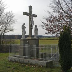
Kreuzigungsgruppe
1.9 km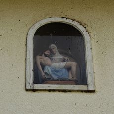
Hausfigur
899 m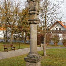
Baudenkmäler am Gemeindezentrum
1.8 km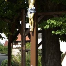
Wegkreuz Dorfmitte
957 m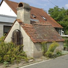
Backofen
1.1 km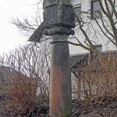
Martersäule (Röhrach)
1.7 km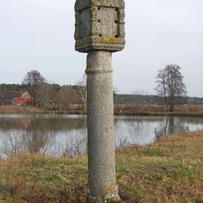
Wegkreuz
1.6 km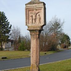
Marter an der Kreuzung nach Hannberger / Erlanger Straße
1.8 km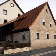
Am Seebach 9
1.7 km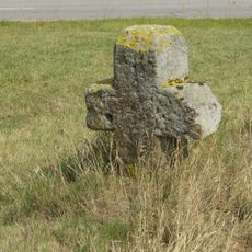
Pflugreutmarterl
2 km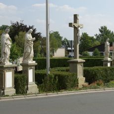
Figurengruppe mit Wegkreuz
1.9 km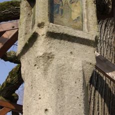
Bildstock Dorfmitte (Dechsendorf)
955 m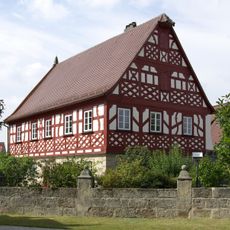
Pfarrhaus
2 km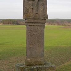
Spätgotischer Bildstock
1.9 km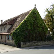
Röttenbacher Straße 6
923 m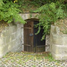
Keller Röhracher Straße
1.9 km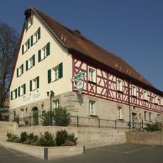
Gasthof
987 m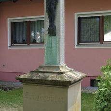
Wegkreuz
1.1 km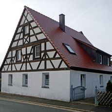
Schmiede
1.7 km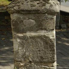
Hofeinfahrt
1.1 km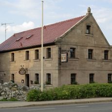
Bauernhaus
1.2 km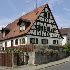
Bauernhaus
954 mReviews
Visited this place? Tap the stars to rate it and share your experience / photos with the community! Try now! You can cancel it anytime.
Discover hidden gems everywhere you go!
From secret cafés to breathtaking viewpoints, skip the crowded tourist spots and find places that match your style. Our app makes it easy with voice search, smart filtering, route optimization, and insider tips from travelers worldwide. Download now for the complete mobile experience.

A unique approach to discovering new places❞
— Le Figaro
All the places worth exploring❞
— France Info
A tailor-made excursion in just a few clicks❞
— 20 Minutes