
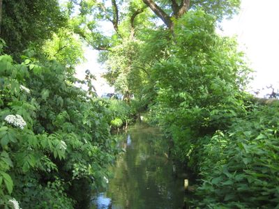
Schutz eines Landschaftsteils in der Stadt Landshut, protected landscape in Bavaria, Germany
Location: Landshut
Inception: 1961
GPS coordinates: 48.54186,12.13652
Latest update: March 3, 2025 00:20
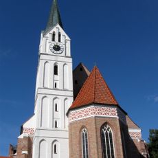
St. Nikola (Landshut)
385 m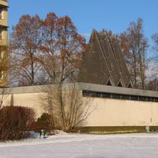
Kapelle des Städtischen Klinikums (Landshut)
457 m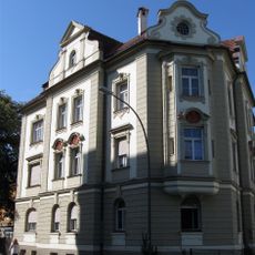
Villa
571 m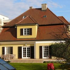
Villa
581 m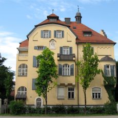
Wohnhaus und Einfriedung
693 m
Feuerbachstraße 2
637 m
Wohnhaus
697 m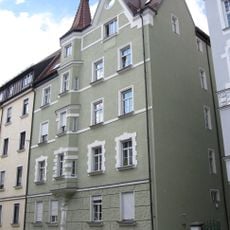
Mietshaus
575 m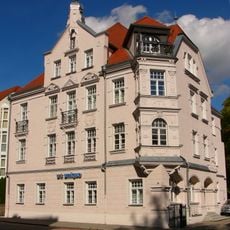
Gasthof Haindlgarten
537 m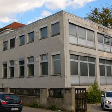
Ehem. Papierwerk Landshut
722 m
Mietshaus
587 m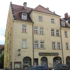
Mietshaus
598 m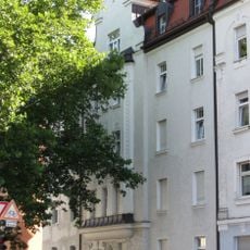
Wohnhaus
487 m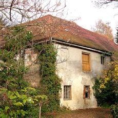
Feuerbachstraße 3 Landshut
587 m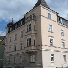
Wohnhaus
706 m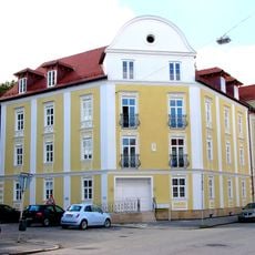
Wohnhaus
647 m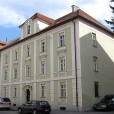
Wohnhaus
634 m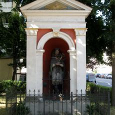
Heiligenhäuschen am Hammerbach
497 m
Wohnhaus
733 m
Wohnhaus
474 m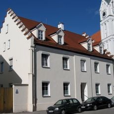
Katholische Pfarrhaus St. Nikola
428 m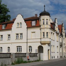
Seligenthaler Straße 36/38 (Landshut)
714 m
Nikola Bierstüberl
444 m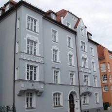
Seligenthaler Straße 56 (Landshut)
586 m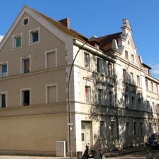
Wohnhaus
559 m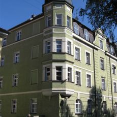
Wohnhaus
672 m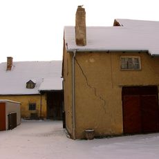
Ehem. Nußbieler-Schwaige
345 m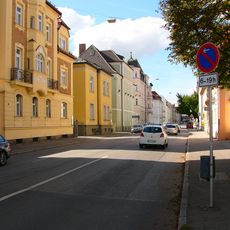
'''Ensemble Seligenthaler Straße'''
707 mReviews
Visited this place? Tap the stars to rate it and share your experience / photos with the community! Try now! You can cancel it anytime.
Discover hidden gems everywhere you go!
From secret cafés to breathtaking viewpoints, skip the crowded tourist spots and find places that match your style. Our app makes it easy with voice search, smart filtering, route optimization, and insider tips from travelers worldwide. Download now for the complete mobile experience.

A unique approach to discovering new places❞
— Le Figaro
All the places worth exploring❞
— France Info
A tailor-made excursion in just a few clicks❞
— 20 Minutes