
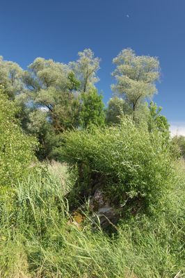
Altwasser bei Rettingen, protected landscape in Bavaria, Germany
Location: Donau-Ries
Inception: 1980
GPS coordinates: 48.67048,10.71355
Latest update: March 2, 2025 23:53
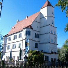
Schloss Kalteneck
4.5 km
Mertinger Hölle
3.5 km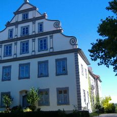
Schloss Tapfheim
2.2 km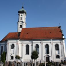
St. Peter (Tapfheim)
2.6 km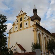
St. Ulrich und Johannes Baptist (Schwenningen)
4.7 km
St. Vitus (Erlingshofen)
1 km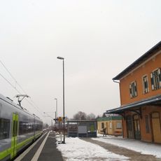
Tapfheim
1.7 km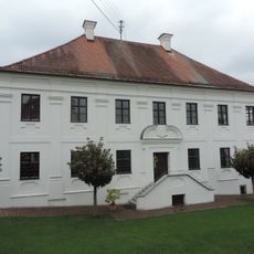
Pfarrhof Lauterbach
5.8 km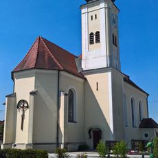
St. Georg
5.6 km
Naturwaldreservat Neugeschüttwörth
5.3 km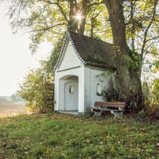
Kapelle bei Ruppenschwaig
4.3 km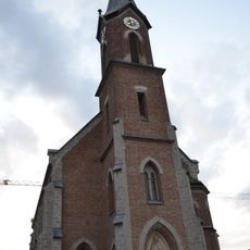
St. Maria Magdalena (Brachstadt)
4.1 km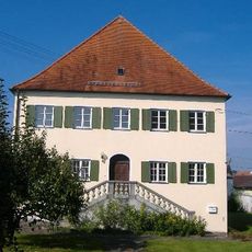
Pfarrhaus
996 m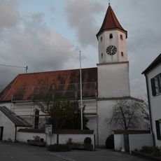
St. Blasius
5.2 km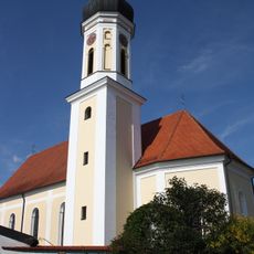
Mariä Himmelfahrt
1 km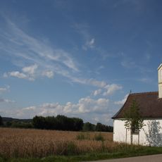
St. Wendelin
748 m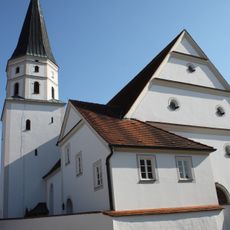
Katholische Pfarrkirche St. Vitus, ehemals St. Margareta
1.3 km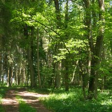
Gschwellhau
3 km
Kapelle St. Sebastian
4.2 km
Kapelle Neubauerschwaige
3.8 km
Altwasser bei Donauwörth
6 km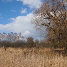
Firnhabermoos (Mertinger Hölle)
4.1 km
Am Langweidlegraben östlich von Heißesheim
4.8 km
Donau-Auen zwischen Blindheim und Tapfheim
5.2 km
Donauauen Blindheim-Donaumünster
4.6 km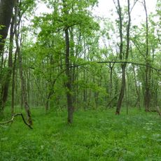
Neugeschüttwörth
5.5 km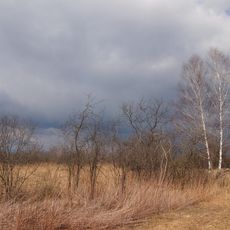
Mertinger Hölle und umgebende Feuchtgebiete
4.2 km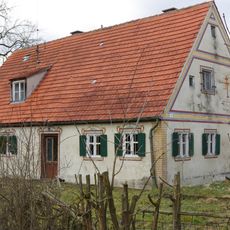
Gärtnerhaus
1.2 kmReviews
Visited this place? Tap the stars to rate it and share your experience / photos with the community! Try now! You can cancel it anytime.
Discover hidden gems everywhere you go!
From secret cafés to breathtaking viewpoints, skip the crowded tourist spots and find places that match your style. Our app makes it easy with voice search, smart filtering, route optimization, and insider tips from travelers worldwide. Download now for the complete mobile experience.

A unique approach to discovering new places❞
— Le Figaro
All the places worth exploring❞
— France Info
A tailor-made excursion in just a few clicks❞
— 20 Minutes