
Wasserschutzgebiet Dittigheim, Wasserschutzgebiet im Main-Tauber-Kreis in Baden-Württemberg
Location: Tauberbischofsheim
Part of: Water protection areas in Main-Tauber-Kreis
GPS coordinates: 49.60543,9.67863
Latest update: April 23, 2025 11:07
St. Vitus
534 m
Wasserwerk Taubertal
551 m
Taubertalbrücke
506 m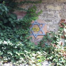
Synagoge
617 m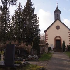
Friedhofskapelle
183 m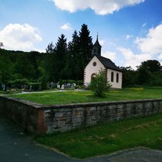
Friedhof Dittigheim
161 m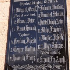
Kriegerdenkmal
564 m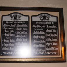
Franco-Prussian War memorial in Dittigheim
564 m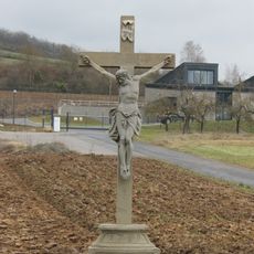
Steinkreuz
506 m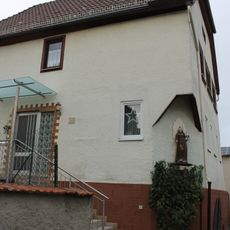
Historisches Wohnhaus
556 m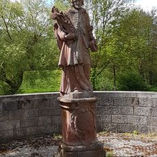
Bildstock
532 m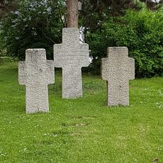
Kriegerdenkmal
525 m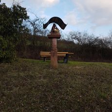
Bildstock
673 m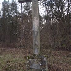
Steinkreuz
345 m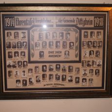
Kriegerdenkmal
568 m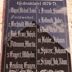
Kriegerdenkmal
564 m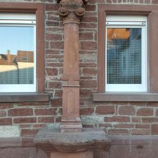
Bildstock
409 m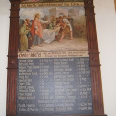
Kriegerdenkmal
568 m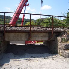
Eisenbahnbrücke über die Tannenbergstraße (Tauberbischofsheim-Dittigheim)
767 m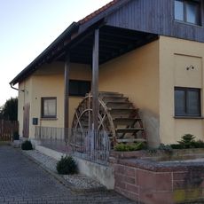
Wassermühle Dittigheim
456 m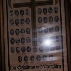
Kriegerdenkmal
536 m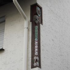
Zwei geschnitzte Eckpfosten
577 m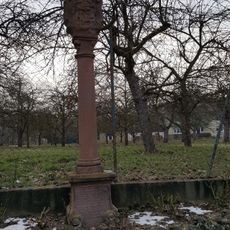
Bildstock
355 m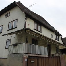
Historisches Wohnhaus
532 m
Gedenkstein
513 m
Bildstock
673 m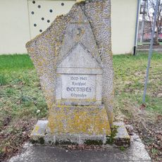
Bildstock
513 m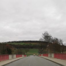
Tauberbrücke
504 mReviews
Visited this place? Tap the stars to rate it and share your experience / photos with the community! Try now! You can cancel it anytime.
Discover hidden gems everywhere you go!
From secret cafés to breathtaking viewpoints, skip the crowded tourist spots and find places that match your style. Our app makes it easy with voice search, smart filtering, route optimization, and insider tips from travelers worldwide. Download now for the complete mobile experience.

A unique approach to discovering new places❞
— Le Figaro
All the places worth exploring❞
— France Info
A tailor-made excursion in just a few clicks❞
— 20 Minutes