
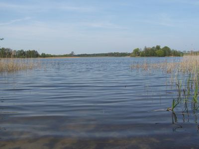
Krummenhagener See, Borgwallsee und Pütter See, protected area in the European Union defined by the habitats directive in Mecklenburg-Vorpommern, Germany
Location: Vorpommern-Rügen District
Inception: 2004
GPS coordinates: 54.26217,13.01836
Latest update: March 6, 2025 17:25
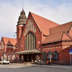
Stralsund Hauptbahnhof
6.5 km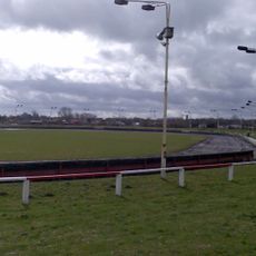
Paul-Greifzu-Stadion
6.1 km
Kirche Voigdehagen
5 km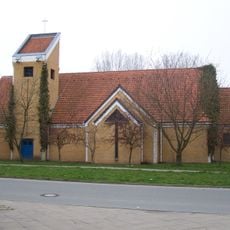
Auferstehungskirche
5.4 km
Lutherkirche in Stralsund
5.3 km
Friedenskirche
5.7 km
Dorfkirche Pütte
3.9 km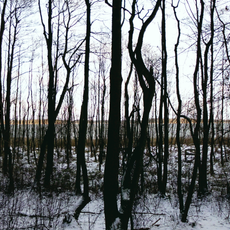
Borgwallsee und Pütter See
4.2 km
Church in Elmenhorst
5.9 km
Church in Steinhagen
4.6 km
Marienstraße 3
6.8 km
Abtshagen
6.5 km
Försterhofer Heide
4.8 km
Tribseer Straße 1
6.8 km
Krummenhagener See
2.5 km
Bleistraße 2 a (Stralsund)
6.8 km
Tribseer Straße 30
6.8 km
Bleistraße 1
6.8 km
Tribseer Straße 7
6.8 km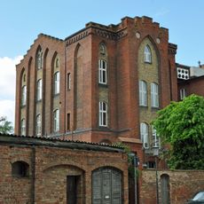
Marienstraße 4
6.8 km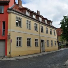
Bleistraße 14 (Stralsund)
6.8 km
Tribseer Straße 28
6.9 km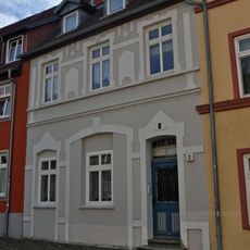
Bleistraße 2
6.8 km
Försterhofer Heide
4.8 km
Kriegerdenkmal 1914/1918
5.8 km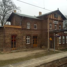
Bahnhof (Empfangsgebäude, Güterboden)
6.8 km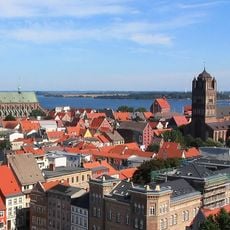
Historic center of Stralsund
6.3 km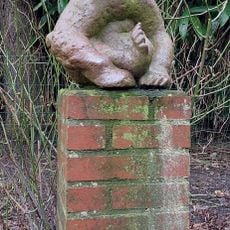
Bär
6.7 kmReviews
Visited this place? Tap the stars to rate it and share your experience / photos with the community! Try now! You can cancel it anytime.
Discover hidden gems everywhere you go!
From secret cafés to breathtaking viewpoints, skip the crowded tourist spots and find places that match your style. Our app makes it easy with voice search, smart filtering, route optimization, and insider tips from travelers worldwide. Download now for the complete mobile experience.

A unique approach to discovering new places❞
— Le Figaro
All the places worth exploring❞
— France Info
A tailor-made excursion in just a few clicks❞
— 20 Minutes