
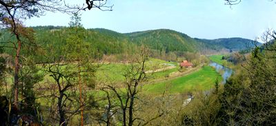
Elstertal zwischen Greiz und Wünschendorf
Elstertal zwischen Greiz und Wünschendorf, protected area in the European Union defined by the habitats directive in Thüringen, Germany
Location: Greiz
Inception: September 2000
GPS coordinates: 50.72469,12.17344
Latest update: March 3, 2025 01:45
Schloss Dryfels
3.1 km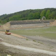
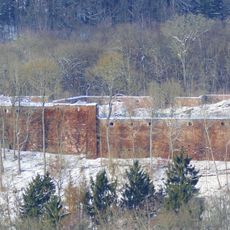
Talsperre Krebsbach
3.9 km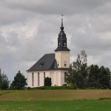
Dorfkirche Sorge-Settendorf
3.3 km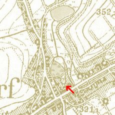
Alter Schlossberg (Teichwolframsdorf)
5.2 km
Töpferberg
5.2 km
Kirchgemeindesaal Gommla
3.5 km
Hoffnungskirche Clodra
5.4 km
Dorfkirche Nitschareuth
3.5 km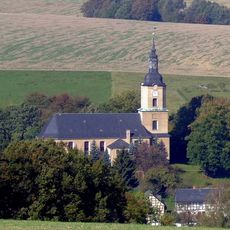
Dorfkirche Teichwolframsdorf
4.7 km
St. Georg (Tschirma)
2.9 km
Protestant Church Großkundorf
3 km
Kirche Hohenölsen
3.1 km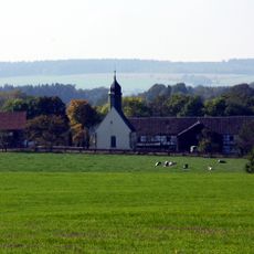
Dorfkirche Wittchendorf
4.8 km
St. Georg (Kühdorf)
4.9 km
Clodramühle
4.9 km
St. Erhard (Berga/Elster)
3.3 km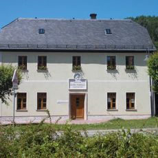
Heimatmuseum Spittel
3.2 km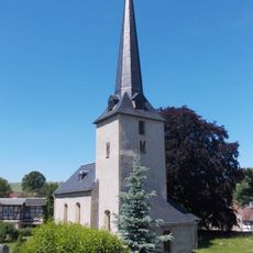
Protestant Church Wernsdorf
5.9 km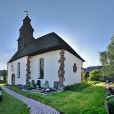
Protestant Church Albersdorf (Berga)
4.3 km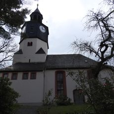
Protestant Church Waltersdorf
1.3 km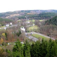
Wälder um Greiz und Werdau
4.9 km
Elstertal zwischen Greiz und Wünschendorf
3.4 km
Station 124 Sorge
3.3 km
Klubhaus Berga
3.1 km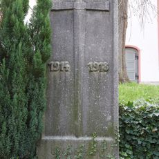
War memorial Waltersdorf (Mohlsdorf-Teichwolframsdorf)
1.3 km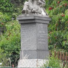
War memorial Daßlitz
4.8 km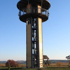
Kreuztanne Observation Tower
3.5 km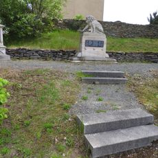
War memorial Großkundorf
3 kmVisited this place? Tap the stars to rate it and share your experience / photos with the community! Try now! You can cancel it anytime.
Discover hidden gems everywhere you go!
From secret cafés to breathtaking viewpoints, skip the crowded tourist spots and find places that match your style. Our app makes it easy with voice search, smart filtering, route optimization, and insider tips from travelers worldwide. Download now for the complete mobile experience.

A unique approach to discovering new places❞
— Le Figaro
All the places worth exploring❞
— France Info
A tailor-made excursion in just a few clicks❞
— 20 Minutes