
Untere Amper, protected landscape in Bavaria, Germany
Location: Fürstenfeldbruck
Inception: 1994
GPS coordinates: 48.19245,11.31073
Latest update: March 12, 2025 11:26

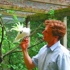
Olching Bird Park
1.9 km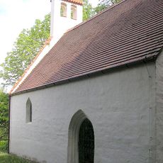
Burgstall Roggenstein
1.7 km
Pfefferminzmuseum Eichenau
3 km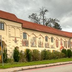
Schloss Esting
995 m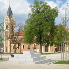
St. Peter und Paul
2.2 km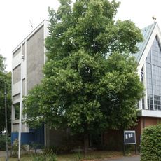
Bruder Konrad
2.4 km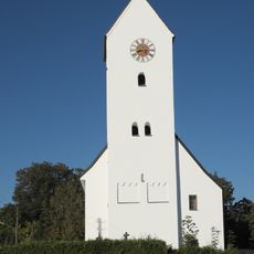
St. Stephanus
801 m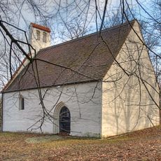
Sankt Georgs Kapelle (Roggenstein)
1.6 km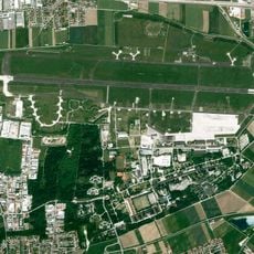
Fürstenfeldbruck Air Base
3.1 km
Schulhaus
2.7 km
Pfarrhaus
2.4 km
Pfarrhaus (Emmering, Lkr Fürstenfeldbruck)
2.7 km
Waschhaus (Olching)
1.7 km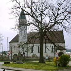
St. Johannes der Täufer
2.7 km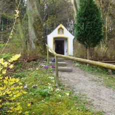
Votivkapelle St. Maria
3 km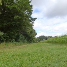
LSG Scharwerkholz
2.7 km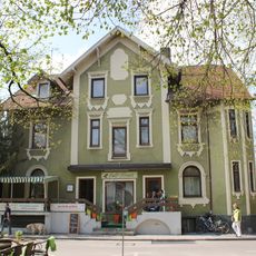
Ehemals Mietsvilla
2 km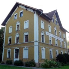
Josefstraße 7
3.6 km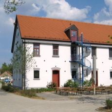
Ehemals Wirtschaftsgebäude der München-Dachauer Papierfabrik
1.7 km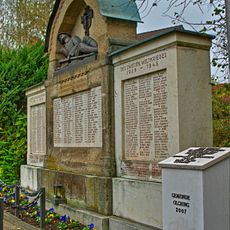
Kriegerdenkmal
2.2 km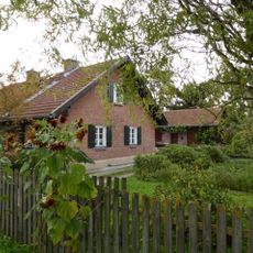
Mustersiedlung für Arbeiter von Gut Roggenstein
1.5 km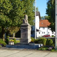
Kriegerdenkmal
910 m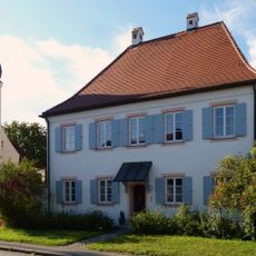
Ehemaliges Kuratenhaus
981 m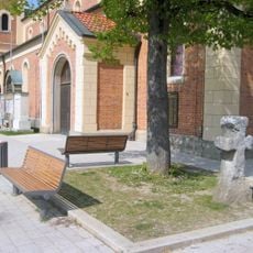
Sühnekreuz
2.2 km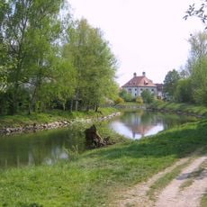
Hydroelectric power station (Olching)
1.8 km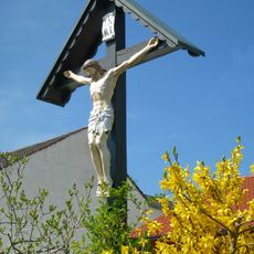
Wegkreuz
2.5 km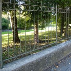
Einfriedung
1.8 km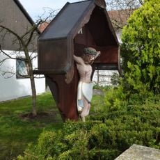
Wegkreuz Hartstr (Emmering, Lkr Fürstenfeldbruck)
2.9 kmReviews
Visited this place? Tap the stars to rate it and share your experience / photos with the community! Try now! You can cancel it anytime.
Discover hidden gems everywhere you go!
From secret cafés to breathtaking viewpoints, skip the crowded tourist spots and find places that match your style. Our app makes it easy with voice search, smart filtering, route optimization, and insider tips from travelers worldwide. Download now for the complete mobile experience.

A unique approach to discovering new places❞
— Le Figaro
All the places worth exploring❞
— France Info
A tailor-made excursion in just a few clicks❞
— 20 Minutes