
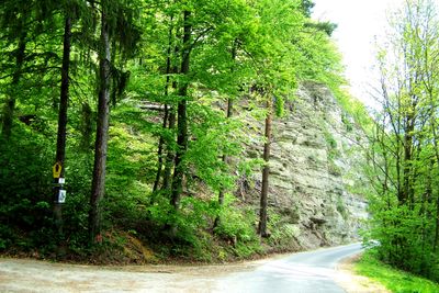
Werrahänge von Frankenroda bis Falken, protected area in the European Union defined by the habitats directive in Thüringen, Germany
Location: Wartburgkreis
Inception: 1999
GPS coordinates: 51.11770,10.28885
Latest update: March 2, 2025 23:18
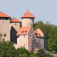
Castle Normannstein
4.4 km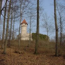
Burg Haineck
3.8 km
St. Bonifatius, Treffurt
4.3 km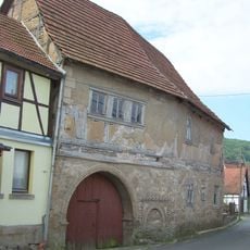
Keudelsches Schloss
1.4 km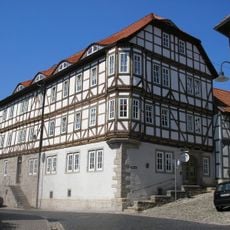
Ohrfeigenhaus
4.3 km
Rathaus
4.2 km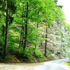
Probsteizella
1.1 km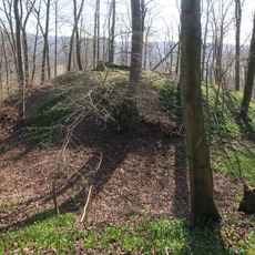
Altenburg (Nazza)
3.2 km
Burg Normannstein
4.4 km
Gefängnis
4.3 km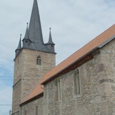
St.-Martini-Kirche
1.3 km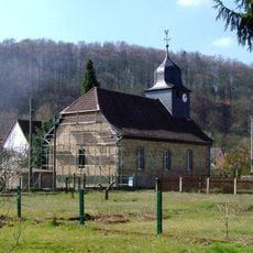
Dreifaltigkeitskirche (Ebenshausen)
3.7 km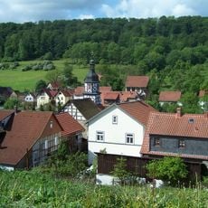
Dudel-berg
2.2 km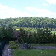
Sandberg (Treffurt)
3.9 km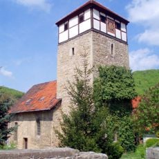
Pfarrkirche St.-Katharina (Frankenroda)
2.7 km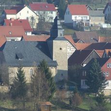
Dreifaltigkeitskirche
4.3 km
Kahn
910 m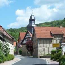
Christuskirche (Nazza)
3.7 km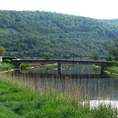
Gold-Berg
883 m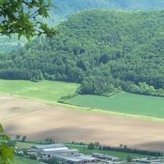
Breiten-Berg
4 km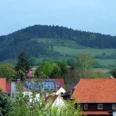
Sülzen-Berg
2.8 km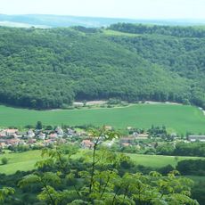
Stöckigts-Berg
5 km
Ruppertsberg
4.1 km
Herz Jesu (Schierschwende)
4.2 km
Wernershäuser Höhe
4.5 km
St. Marien (Treffurt)
4.4 km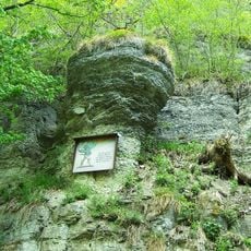
Bauernkanzel
815 m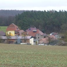
Gut Schönberg
2.3 kmReviews
Visited this place? Tap the stars to rate it and share your experience / photos with the community! Try now! You can cancel it anytime.
Discover hidden gems everywhere you go!
From secret cafés to breathtaking viewpoints, skip the crowded tourist spots and find places that match your style. Our app makes it easy with voice search, smart filtering, route optimization, and insider tips from travelers worldwide. Download now for the complete mobile experience.

A unique approach to discovering new places❞
— Le Figaro
All the places worth exploring❞
— France Info
A tailor-made excursion in just a few clicks❞
— 20 Minutes