
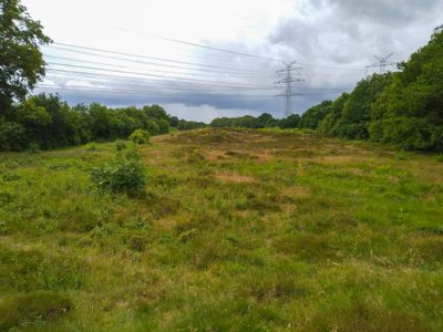
Binnendünen- und Moorlandschaft im Sorgetal, protected area in the European Union defined by the habitats directive in Schleswig-Holstein, Germany
Location: Owschlag
Location: Tetenhusen
Location: Lohe-Föhrden
Location: Rickert
Inception: 2004
GPS coordinates: 54.35333,9.56639
Latest update: March 21, 2025 14:12

Feldwebel-Schmid-Kaserne
6.1 km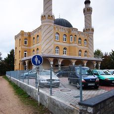
Centrum-Moschee Rendsburg
7.4 km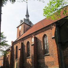
Marienkirche
8.3 km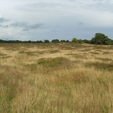
Sorgwohld
1.1 km
Eisenkunstgussmuseum
7.9 km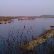
Fockbeker Moor
3.3 km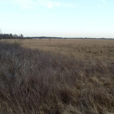
Tetenhusener Moor
8.6 km
Post office
8.5 km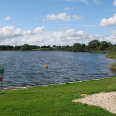
Owschlager See
4.3 km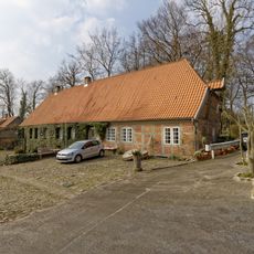
Wassermühle Stenten
6.3 km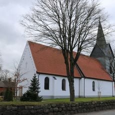
Kropp Church
7.3 km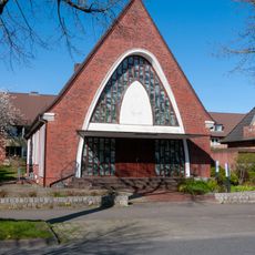
New Apostolic Church
7 km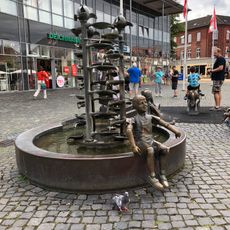
Kinderbrunnen
8.2 km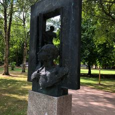
Ohne
8.5 km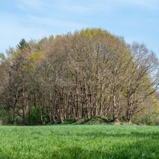
Grönsfurther Berge
8.5 km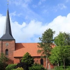
Marienkirche
6.9 km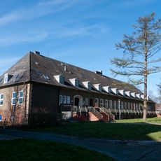
Wirtschaftsgebäude Nord
6 km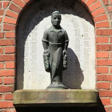
Stuten Hanna
8.4 km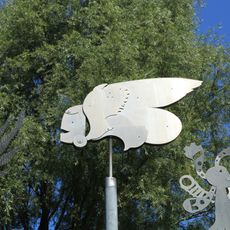
3 Mobiles
8.5 km
Town hall
8.5 km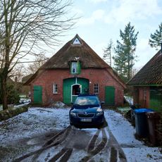
Kate
5.3 km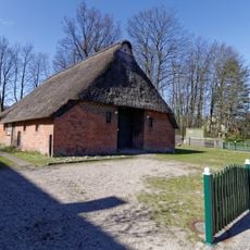
Rauchkate
5.8 km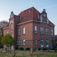
Former staff building (building 9)
8.5 km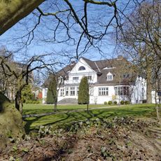
Brückenstraße 1, Direktorenvilla
7.9 km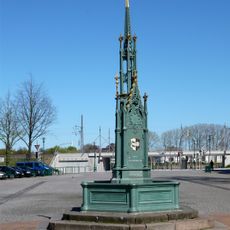
Gerhardsbrunnen
8.1 km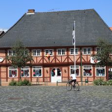
Schiffbrückenplatz 7
8.1 km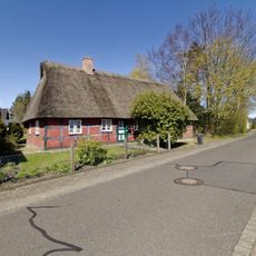
Fachwerkhaus
6.4 km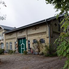
Bauernhaus
4.4 kmVisited this place? Tap the stars to rate it and share your experience / photos with the community! Try now! You can cancel it anytime.
Discover hidden gems everywhere you go!
From secret cafés to breathtaking viewpoints, skip the crowded tourist spots and find places that match your style. Our app makes it easy with voice search, smart filtering, route optimization, and insider tips from travelers worldwide. Download now for the complete mobile experience.

A unique approach to discovering new places❞
— Le Figaro
All the places worth exploring❞
— France Info
A tailor-made excursion in just a few clicks❞
— 20 Minutes