
Langes Elsenfließ und Wegendorfer Mühlenfließ, protected area in the European Union defined by the habitats directive in Brandenburg, Germany
Location: Werneuchen
Location: Altlandsberg
Inception: 2000
GPS coordinates: 52.59437,13.72985
Latest update: June 15, 2025 04:03
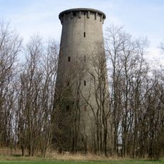
Radarturm Weesow
6.6 km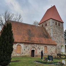
Village church Löhme
5.4 km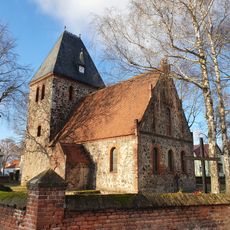
Village church Seefeld (Werneuchen)
4.8 km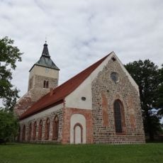
St Marien
3.1 km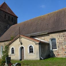
Village church Weesow
6.2 km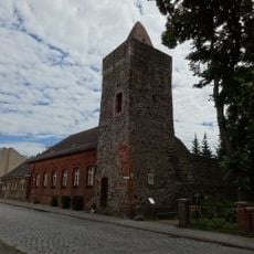
Berliner Torturm
3.6 km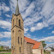
Village church Seeberg
5.8 km
Schlossgut Altlandsberg
3 km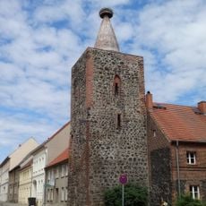
Strausberger Torturm
3.3 km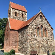
Krummensee village church
2.5 km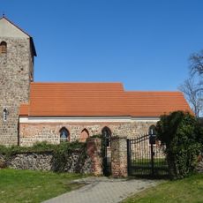
Village church Hirschfelde
6.7 km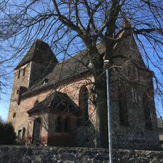
Village church in Buchholz
4.2 km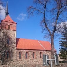
Village church Wesendahl
5.7 km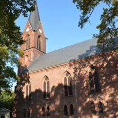
Stadtkirche St. Michael
4.2 km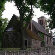
Dorfkirche Wegendorf
2 km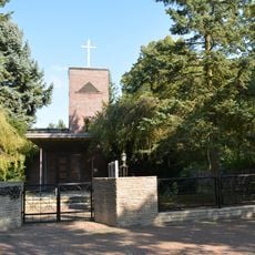
St. Joseph
4.6 km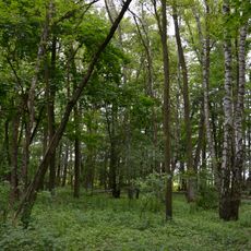
Fredersdorfer Mühlenfließ, Langes Luch und Breites Luch
5.1 km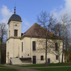
Reformierte Kirche, vorm. Schlosskirche
3 km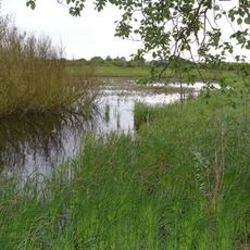
Niederungssystem des Fredersdorfer Mühlenfließes und seiner Vorfluter
6.6 km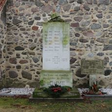
War memorial Löhme
5.4 km
Naturdenkmal Stiel-Eiche zwischen den Grundstücken Berliner Str. 18 und 20 auf öffentlichen Land in Seefeld
4.7 km
Malereiche Blumberg
6.7 km
Naturdenkmal Dreieichen im Blumberger Park
7 km
Naturdenkmal Stiel-Eiche ca. 6 m südlich hinter der Kirchenmauer in Löhme
5.4 km
Naturdenkmal Magnolie im Vorgarten des Hauses Berliner Str. 26 direkt an der Ampel in Seefeld
4.6 km
Naturdenkmal 2 Stiel-Eichen im Blumberger Park
6.7 km
Naturdenkmal Stiel-Eiche 2 Park, östlich anschließend an die Ortslage in Blumberg
6.7 km
Naturdenkmal Ginkgo ehemaliger Schlosspark in Löhme
5.3 kmReviews
Visited this place? Tap the stars to rate it and share your experience / photos with the community! Try now! You can cancel it anytime.
Discover hidden gems everywhere you go!
From secret cafés to breathtaking viewpoints, skip the crowded tourist spots and find places that match your style. Our app makes it easy with voice search, smart filtering, route optimization, and insider tips from travelers worldwide. Download now for the complete mobile experience.

A unique approach to discovering new places❞
— Le Figaro
All the places worth exploring❞
— France Info
A tailor-made excursion in just a few clicks❞
— 20 Minutes