
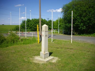
Boundary stones between Prussia and Saxony - 76 Nachbau, Zeitdokument der historischen Grenzziehung zwischen Sachsen und Preußen nach dem Wiener Kongress 1815. Moderner Nachbau des Steines
Location: Groitzsch
Part of: Border Kingdom of Saxony-Kingdom of Prussia 1815, political border
GPS coordinates: 51.09240,12.28317
Latest update: March 3, 2025 03:06

Orangerie Meuselwitz
5.2 km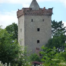
Burg Etzoldshain
5 km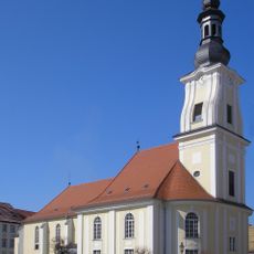
Martinskirche
5.6 km
St. Elisabeth (Zipsendorf)
5.2 km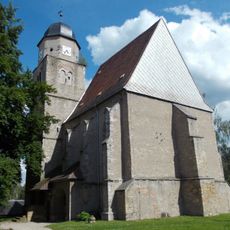
Protestant Church Profen
6.1 km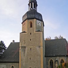
Dorfkirche Zipsendorf
5.2 km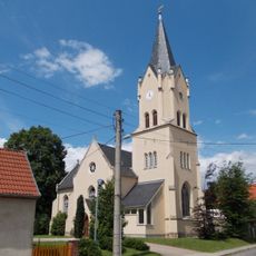
Dorfkirche Prößdorf
1.5 km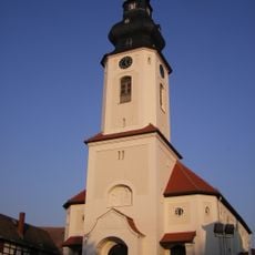
St. Walburga
6.3 km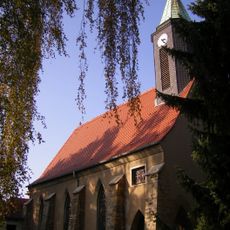
Dorfkirche Mumsdorf
5.6 km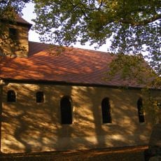
Dorfkirche Falkenhain
2.2 km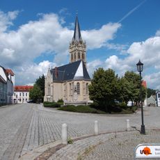
Pankratiuskirche
6.3 km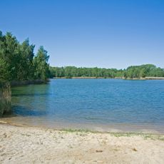
Landschaftsschutzgebiet Hainbergsee Meuselwitz
6.3 km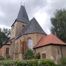
Protestant Church Langendorf
1.6 km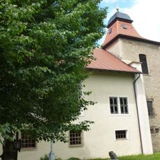
Protestant Church Ostrau
6.1 km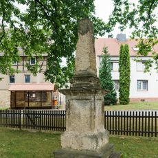
Polish-Saxon Post Milestones in Profen
6 km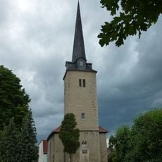
Protestant Church Rehmsdorf
6 km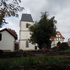
Kirche Hohendorf
4.6 km
Protestant Church (Breitenhain)
2.7 km
Boundary stones between Prussia and Saxony - 71
6.2 km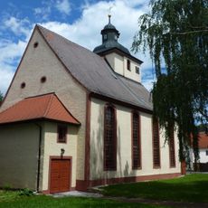
Kirche Auligk
3.7 km
Elsteraue
6.1 km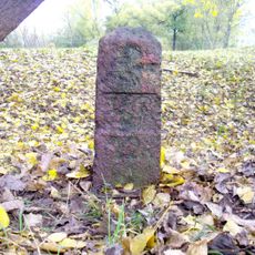
Grenzstein Nr. 72
5.3 km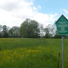
Sebastiansgarten und Träubelwiese
6.2 km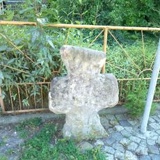
Steinkreuz
3.6 km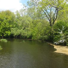
Elsteraue
6.1 km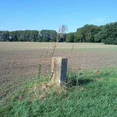
Sächsisch-Preußischer Grenzstein: Nr. 73 (linkselbisch)
3.8 km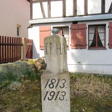
Boundary stones between Prussia and Saxony - 76 original
3.7 km
Boundary stones between Prussia and Saxony - 69
6.3 kmReviews
Visited this place? Tap the stars to rate it and share your experience / photos with the community! Try now! You can cancel it anytime.
Discover hidden gems everywhere you go!
From secret cafés to breathtaking viewpoints, skip the crowded tourist spots and find places that match your style. Our app makes it easy with voice search, smart filtering, route optimization, and insider tips from travelers worldwide. Download now for the complete mobile experience.

A unique approach to discovering new places❞
— Le Figaro
All the places worth exploring❞
— France Info
A tailor-made excursion in just a few clicks❞
— 20 Minutes