
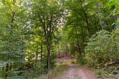
Waldgebiet zwischen Uckersdorf und Burg, protected area in the European Union defined by the habitats directive in Hessen, Germany
Location: Herborn
Inception: 2001
GPS coordinates: 50.69694,8.28352
Latest update: March 7, 2025 00:51
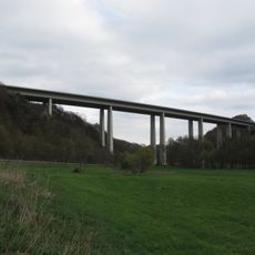
Ambach Viaduct
779 m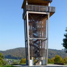
Dillblick
1.5 km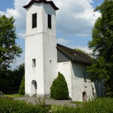
Evangelische Kirche Burg
1.6 km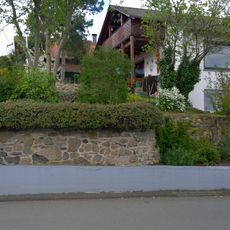
Burgstall Burg
1.5 km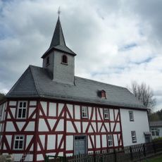
Evangelische Kirche Uckersdorf
1.4 km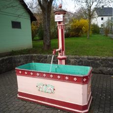
Laufbrunnen
1.3 km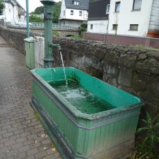
Laufbrunnen
1.5 km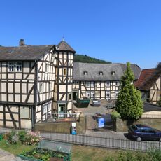
Schulberg 26
1.9 km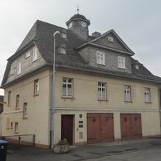
Alte Schule
1.5 km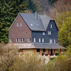
Jagdschloss Ludwigsbrunn
1.1 km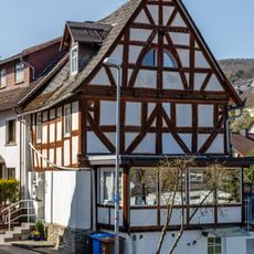
Fachwerkhaus Alte Hauptstraße 27
1.4 km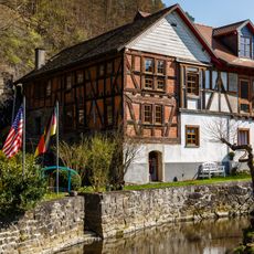
Alte Dorfmühle Am Mühlgraben 2
1.3 km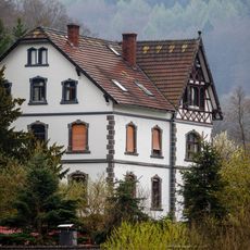
Villa Am Mühlgraben 17
1.3 km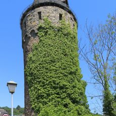
Bürgerturm
1.9 km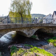
Amdorfbachbrücke
1.2 km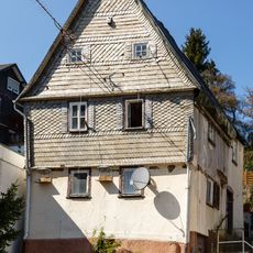
Haus Kirchweg 1
1.5 km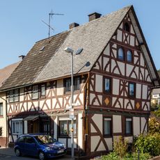
Fachwerkhaus Alte Hauptstraße 19/21
1.4 km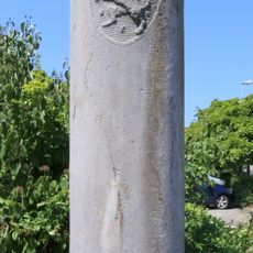
Grenzsäule
1.9 km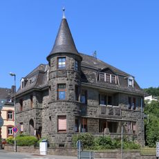
Rückertsche Villa
1.9 km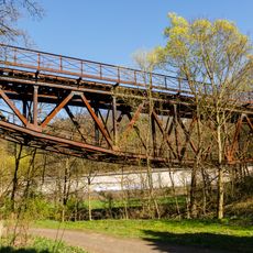
Eisenbahnbrücke
1.6 km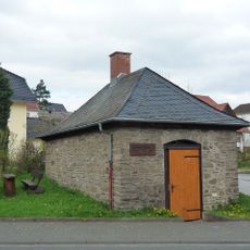
Backhaus
1.4 km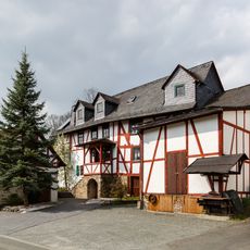
Schneidmühle
1.4 km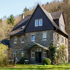
Bahnhof
1 km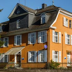
Wohnhaus Junostraße 2
1.7 km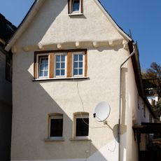
Fachwerkhaus Dorfstraße 13/15
1.5 km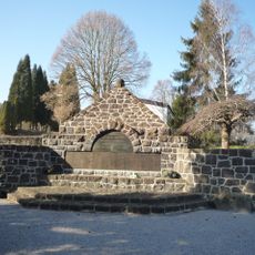
Gedenkstätte
1.6 km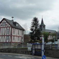
Altes Bürgermeisteramt
1.4 km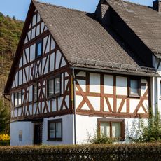
Fachwerkhaus Uckersdorfer Hauptstraße 13
1.3 kmVisited this place? Tap the stars to rate it and share your experience / photos with the community! Try now! You can cancel it anytime.
Discover hidden gems everywhere you go!
From secret cafés to breathtaking viewpoints, skip the crowded tourist spots and find places that match your style. Our app makes it easy with voice search, smart filtering, route optimization, and insider tips from travelers worldwide. Download now for the complete mobile experience.

A unique approach to discovering new places❞
— Le Figaro
All the places worth exploring❞
— France Info
A tailor-made excursion in just a few clicks❞
— 20 Minutes