
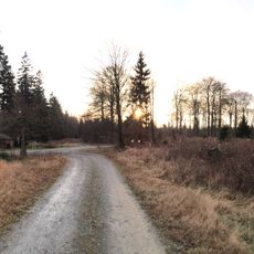
Großer Bohnstein, protected area in the European Union defined by the habitats directive in Nordrhein-Westfalen, Germany
Location: Bad Laasphe
Inception: 2000
GPS coordinates: 50.88192,8.34954
Latest update: March 30, 2025 18:13
Jagd-Berg
5.4 km
Forsthaus Dietzhölze
4.8 km
Nationales Automuseum The Loh Collection
6 km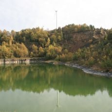
Steinbruch Oberdieten
4.5 km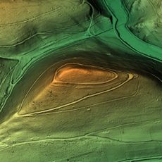
Hesselbacher Wallburg
853 m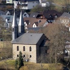
Evangelische Kirche Banfe
3.6 km
Evangelische Kirche Fischelbach
924 m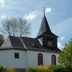
Evangelische Kapelle
6.1 km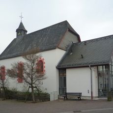
Johanneskapelle Ewersbach
6.2 km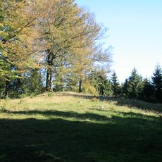
Burg
852 m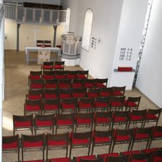
Evangelische Kapelle Hesselbach
1.4 km
Kirche Oberdieten
5.4 km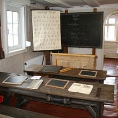
Heimatmuseum Banfetal
3.3 km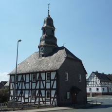
Evangelische Kapelle Mandeln
3.4 km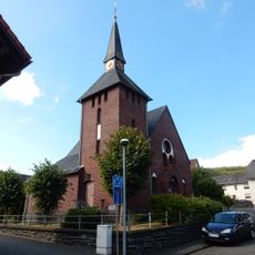
Evangelische Kirche
5.6 km
Großer Bohnstein
136 m
Ewersbach train station
5.9 km
Nebenstraße 11
5.9 km
Historischer Ortskern Steinbrücken (Gesamtanlage)
5.9 km
Ortsstraße 62
6.1 km
Laaspher Straße 29
3.5 km
Hauptstraße 149/151
6.1 km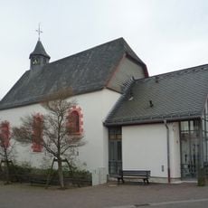
Evangelische Johanneskapelle
6 km
Forsthaus Dietzhölze
4.8 km
Neustraße 3
5.9 km
Neustraße 5
5.9 km
Ortsstraße 33
6.2 km
Hauptstraße 33
6 kmReviews
Visited this place? Tap the stars to rate it and share your experience / photos with the community! Try now! You can cancel it anytime.
Discover hidden gems everywhere you go!
From secret cafés to breathtaking viewpoints, skip the crowded tourist spots and find places that match your style. Our app makes it easy with voice search, smart filtering, route optimization, and insider tips from travelers worldwide. Download now for the complete mobile experience.

A unique approach to discovering new places❞
— Le Figaro
All the places worth exploring❞
— France Info
A tailor-made excursion in just a few clicks❞
— 20 Minutes