Jagd-Berg, Mountain summit in the Rothaar Mountains, Netphen, Germany
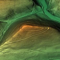
Jagd-Berg is a wooded mountain in North Rhine-Westphalia standing at approximately 676 meters (2,218 feet). Its location marks an important watershed boundary between two major river systems in the region.
The Jagdberg's southern slope carries the Eisenstraße, an old route of the Rothaargebirge, which today runs as a forest and hiking path closed to motor traffic. Near the summit, at a forest crossroads on the state border, the Rothaarsteig meets this Eisenstraße; a shelter of the Heimat- und Verkehrsverein Dietzhölztal stands there. The mountain lies within the Landschaftsschutzgebiet Gemeinde Netphen, established in 1987.
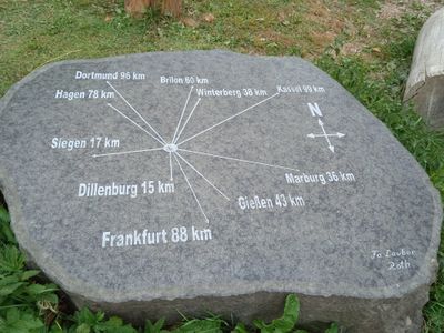
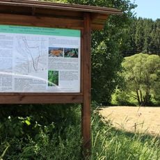
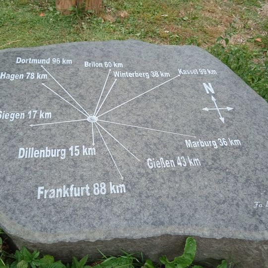
The Rothaarsteig long-distance trail and the Montanhistorischer Wanderweg cross the mountain, and the Eisenstraße des Rothaargebirges, closed to motor traffic here, runs as a forest and hiking path just south of the summit. At a forest-path junction on the state border about 250 m southwest of the top, the Rothaarsteig meets the old Eisenstraße beside a shelter hut of the Heimat- und Verkehrsverein Dietzhölztal with a large signpost and distance board.
The Rothaarsteig and the Montanhistorischer Wanderweg both cross the mountain, and the European long-distance trail E1 passes just north of it. South of the summit, the Eisenstraße runs as a forest and hiking path closed to motor vehicles. About 250 m southwest of the summit, a forest path junction on the state border has a shelter hut with a signpost and distance table.
The southern slope holds the highest point of Lahn-Dill district at 673 meters (2,208 feet). This spot sits right on the border between two federal states, showing how political boundaries follow natural geography.
The community of curious travelers
AroundUs brings together thousands of curated places, local tips, and hidden gems, enriched daily by 94,005 contributors worldwide.