
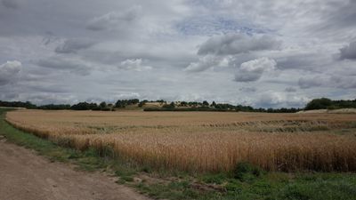
Porphyrkuppen Burgstetten bei Niemberg, protected area in the European Union defined by the habitats directive in Sachsen-Anhalt, Germany
Location: Saalekreis
Inception: 2000
GPS coordinates: 51.55239,12.07664
Latest update: March 3, 2025 06:06
Christoph Halle
1.7 km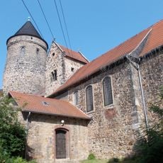
Protestant Church (Hohenthurm)
3.6 km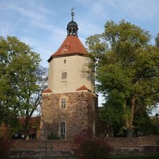
Protestant Church (Dammendorf)
4.5 km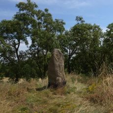
Geisterhügel
1.9 km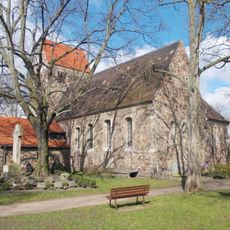
St. Georg und St. Elisabeth
3 km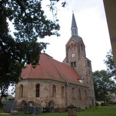
St. Anna und St. Katharina (Gütz)
5.5 km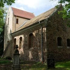
St. Nikolaus (Spickendorf)
4 km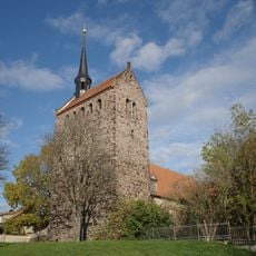
St. Marien (Schwerz)
4.3 km
Spitzberg
4.8 km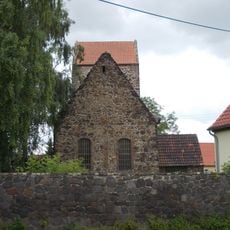
Dorfkirche St. Simonis et Judae (Eismannsdorf)
2 km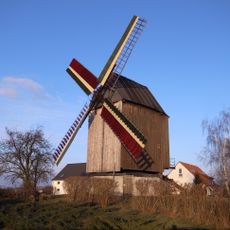
Windmühle Plößnitz
2 km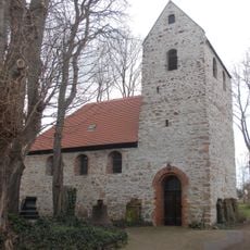
St. Nikolai (Braschwitz)
3.6 km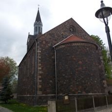
St. Ursula
941 m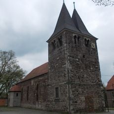
St. Michael (Brachstedt)
2.6 km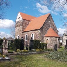
St. Nicolai (Untermaschwitz)
3.8 km
Dorfstraße 7
3.7 km
Dorfstraße 10
3.6 km
Harsdorfer Platz 10
2.8 km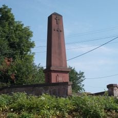
Kriegerdenkmal Hohenthurm
3.7 km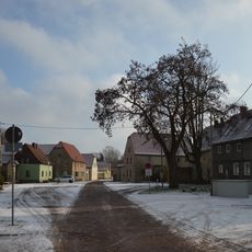
Ethel-Rosenberg-Straße
2.2 km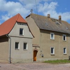
Dorfstraße 7, 8, 10-12
3.6 km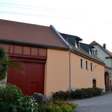
Zum Bauernteich 3–6
1.7 km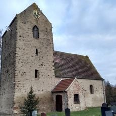
St. Katharina (Plößnitz)
2.3 km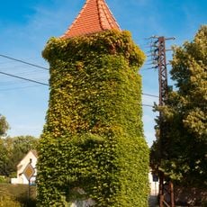
Trafoturm Brachstedt
2.7 km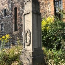
Kriegerdenkmal Brachstedt
2.6 km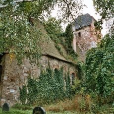
Church ruin Schrenz
3.9 km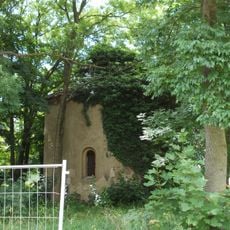
Protestant church Rieda
5.2 km
Porphyrkuppen westlich Landsberg
5 kmVisited this place? Tap the stars to rate it and share your experience / photos with the community! Try now! You can cancel it anytime.
Discover hidden gems everywhere you go!
From secret cafés to breathtaking viewpoints, skip the crowded tourist spots and find places that match your style. Our app makes it easy with voice search, smart filtering, route optimization, and insider tips from travelers worldwide. Download now for the complete mobile experience.

A unique approach to discovering new places❞
— Le Figaro
All the places worth exploring❞
— France Info
A tailor-made excursion in just a few clicks❞
— 20 Minutes