
Stollen und Trockenrasen bei Unterfarnstädt, protected area in the European Union defined by the habitats directive in Sachsen-Anhalt, Germany
Location: Farnstädt
Inception: 2003
GPS coordinates: 51.43151,11.60452
Latest update: May 13, 2025 13:50
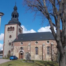
St. Johannes und Paulus
2.6 km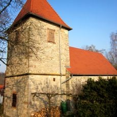
Protestant Church (Kuckenburg)
4.3 km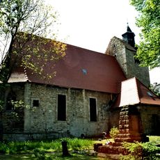
St. Petri und Pauli (Alberstedt)
2.2 km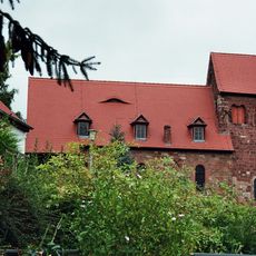
St. Ulrich (Hornburg)
3 km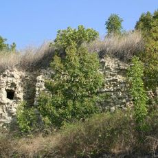
Burg Schraplau
4.7 km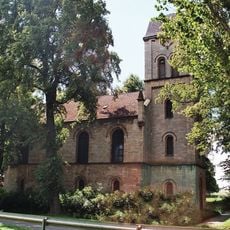
St. Cyriakus (Döcklitz)
3 km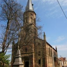
St. Georgi (Gatterstädt)
5.3 km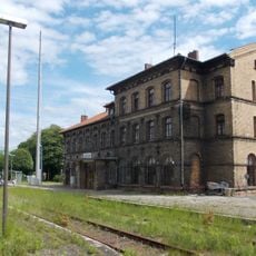
Querfurt railway station
5 km
Weidatalbrücke
4.5 km
Friedhof Querfurt
5.6 km
Kirche Rothenschirmbach
4.8 km
St. Sylvester
1.2 km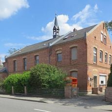
St. Anna
5.6 km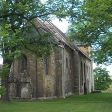
St. Johannes (Schraplau)
4.6 km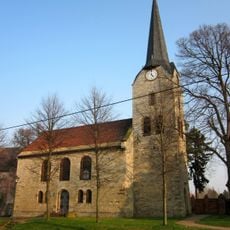
St. Johanni (Obhausen)
5.4 km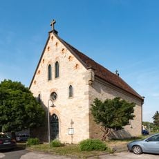
Heilig-Geist-Kirche
5.6 km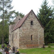
St. Petri
4.8 km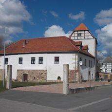
Wasserburg Oberfarnstädt
2.4 km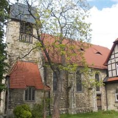
St. Salvator (Querfurt)
5.2 km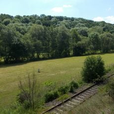
Kuckenburger Hagen
4.7 km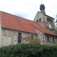
St. Petri (Obhausen)
5.4 km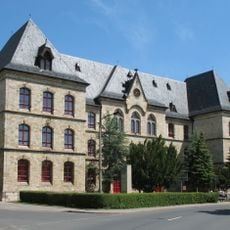
Volksschule Querfurt
5.6 km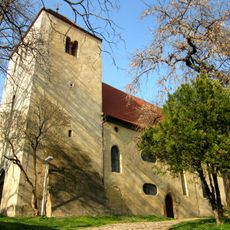
St. Petri
5.2 km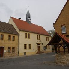
Rathaus Schraplau
4.4 km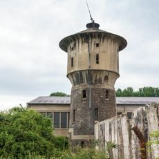
Wasserturm (Querfurt)
4.9 km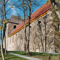
St. Bartholomäus (Erdeborn)
5.4 km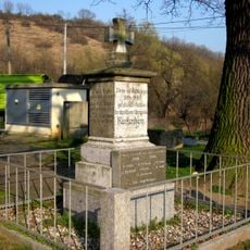
Kriegerdenkmal Kuckenburg
4.2 km
Bauernstein
5.2 kmReviews
Visited this place? Tap the stars to rate it and share your experience / photos with the community! Try now! You can cancel it anytime.
Discover hidden gems everywhere you go!
From secret cafés to breathtaking viewpoints, skip the crowded tourist spots and find places that match your style. Our app makes it easy with voice search, smart filtering, route optimization, and insider tips from travelers worldwide. Download now for the complete mobile experience.

A unique approach to discovering new places❞
— Le Figaro
All the places worth exploring❞
— France Info
A tailor-made excursion in just a few clicks❞
— 20 Minutes