
Naturschutzgebiet 'Haspelmoor', protected area in the European Union defined by the habitats directive in Bayern, Germany
Location: Fürstenfeldbruck
Inception: 2000
GPS coordinates: 48.21759,11.09403
Latest update: March 4, 2025 02:00

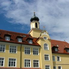
Schloss Grunertshofen
3.6 km
Burgstall Althegnenberg
2.8 km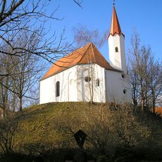
Burgstall Haldenberg (Mammendorf)
4.1 km
Burgstall Purk (Moorenweis)
4.7 km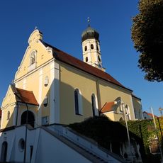
St. Margareth (Günzlhofen)
4.8 km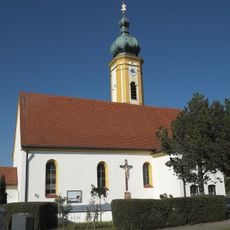
St. Michael
4.1 km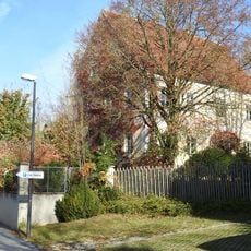
Hauptstraße 18
4.3 km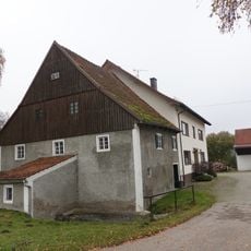
Langwieder Mühle
4.4 km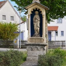
Marienmonument
4.4 km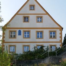
Von-Pfetten-Füll-Straße 4
3.6 km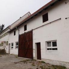
Römertshofen 5
4.6 km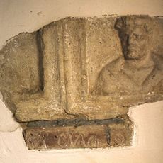
Römischer Grabstein
1.7 km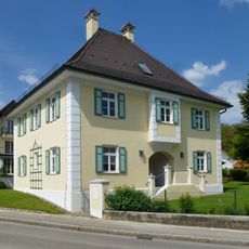
Pfarrhaus (Hattenhofen Obb.)
2 km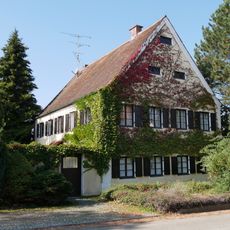
Steinbach 37
4.6 km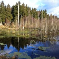
Haspelmoor
169 m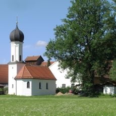
Katholische Filialkirche St. Sebastian
4 km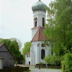
St. Martin (Nassenhausen)
2.4 km
Steinbach 29
4.6 km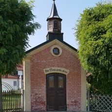
Marienkapelle
4.5 km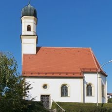
St. Peter und Paul
4.2 km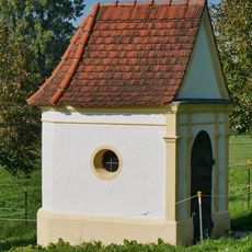
Pestkapelle
4.2 km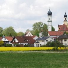
St. Lorenz
3.6 km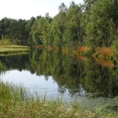
Haspelmoor
378 m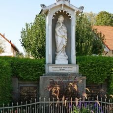
Marienmonument
3.5 km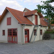
Ehemalige Schmiede
2.9 km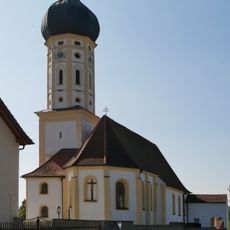
St. Bartholomäus
4.5 km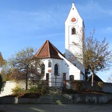
St. Sylvester (Mittelstetten)
4.3 km
Mietshaus
639 mReviews
Visited this place? Tap the stars to rate it and share your experience / photos with the community! Try now! You can cancel it anytime.
Discover hidden gems everywhere you go!
From secret cafés to breathtaking viewpoints, skip the crowded tourist spots and find places that match your style. Our app makes it easy with voice search, smart filtering, route optimization, and insider tips from travelers worldwide. Download now for the complete mobile experience.

A unique approach to discovering new places❞
— Le Figaro
All the places worth exploring❞
— France Info
A tailor-made excursion in just a few clicks❞
— 20 Minutes