
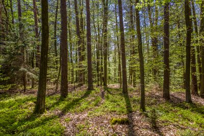
Südhang des Steinert nordöstlich Jesserndorf, protected area in the European Union defined by the habitats directive in Bayern, Germany
Location: Haßberge
Inception: 2004
GPS coordinates: 50.09370,10.69894
Latest update: March 5, 2025 09:22
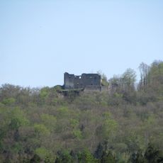
Ministerialenburg
4.9 km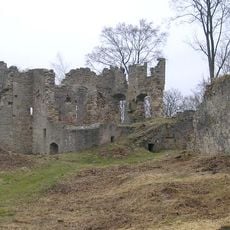
Burgruine
2.9 km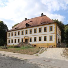
Schloss
1.8 km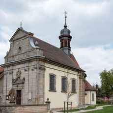
Pfarrkirche
5.2 km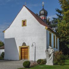
Kapelle
4.9 km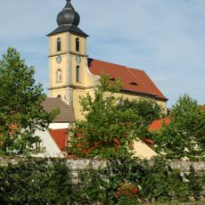
Pfarrkirche
5.7 km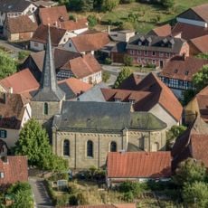
Pfarrkirche
939 m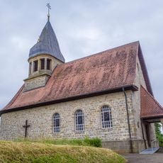
Filialkirche
5.3 km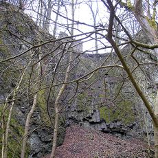
Ehemalige Basaltbrüche am Bramberg S von Hohnhausen
4.9 km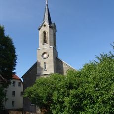
Pfarrkirche
1 km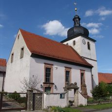
Dorfkirche
4 km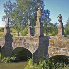
Baunachbrücke Frickendorf
4.4 km
Naturwaldreservat Stachel
3.3 km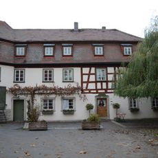
Herberge
4.8 km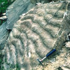
Ehem. Sandsteinbruch Eichelberg S von Burgpreppach
5.3 km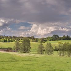
Ehemaliger Standortübungsplatz Ebern und Umgebung
4.5 km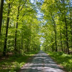
Haßbergetrauf und Bundorfer Wald
4.7 km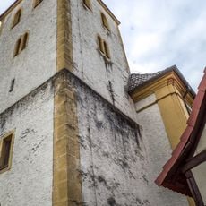
Mausohrkolonien in den Haßbergen und im Itz-Baunach-Hügelland
4.7 km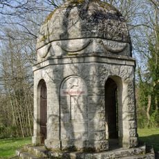
Kriegerdenkmal
4 km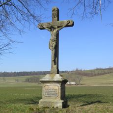
Wegkreuz
5.2 km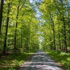
Wälder um Maroldsweisach, Königsberg u. Rentweinsdorf mit Schloss
3.7 km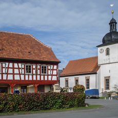
Wohnhaus
4 km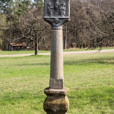
Bildstock
3.3 km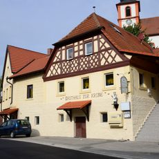
Gasthaus
5.8 km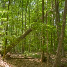
Naturwaldreservat Stachel
3.3 km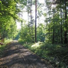
Stachel
3.3 km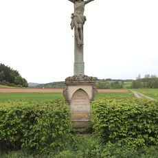
Wegkreuz
5.7 km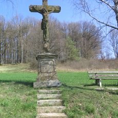
Wegkreuz
5 kmReviews
Visited this place? Tap the stars to rate it and share your experience / photos with the community! Try now! You can cancel it anytime.
Discover hidden gems everywhere you go!
From secret cafés to breathtaking viewpoints, skip the crowded tourist spots and find places that match your style. Our app makes it easy with voice search, smart filtering, route optimization, and insider tips from travelers worldwide. Download now for the complete mobile experience.

A unique approach to discovering new places❞
— Le Figaro
All the places worth exploring❞
— France Info
A tailor-made excursion in just a few clicks❞
— 20 Minutes