
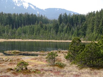
Trauchberger Ach, Moore und Wälder am Nordrand des Ammergebirges
Trauchberger Ach, Moore und Wälder am Nordrand des Ammergebirges, protected area in the European Union defined by the habitats directive in Bayern, Germany
Location: Weilheim-Schongau
Location: Ostallgäu
Inception: 2000
GPS coordinates: 47.65102,10.90710
Latest update: March 5, 2025 09:24

Wieskirche
3.6 km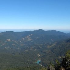
Hohe Bleick
2.4 km
Wolfskopf
3.7 km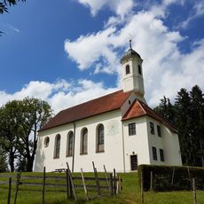
Holy Cross Church (Steingaden)
4.3 km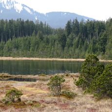
Wildseefilz
4.3 km
Moore um die Wies
2.6 km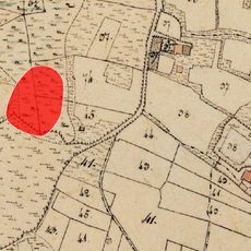
Cultural heritage D-1-8331-0006 in Wildsteig
5.1 km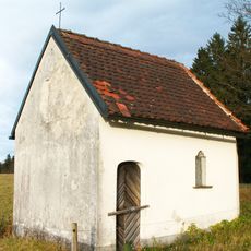
Feldkapelle
2.4 km
Wieskapelle
3.5 km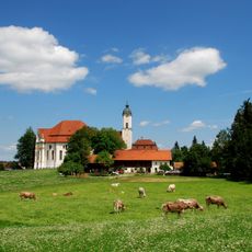
Schutz des Gebietes um die Wies
3.2 km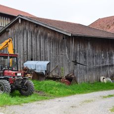
Getreidekasten
5 km
Moräne an der Wieskirche
3 km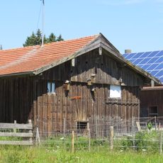
Stadel''beim Schwarzenbacher''
4 km
Ehemaliges Wohnhaus
3.4 km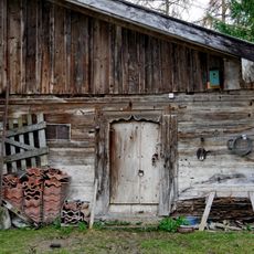
Getreidekasten
3.8 km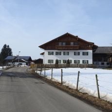
Bauernhaus
4.6 km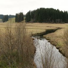
Naturschutzgebiet 'Moore um die Wies'
3.8 km
Einfriedung Wies 12; Wies 13 in Steingaden
3.3 km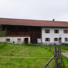
Bauernhaus
4.5 km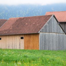
Getreidekasten
5 km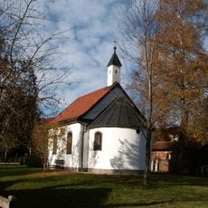
St. Michael chapel
5 km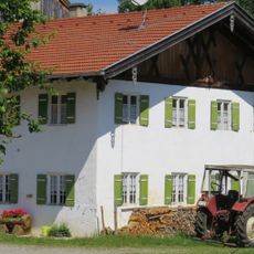
Bauernhaus''zum Ihler''
3.8 km
St. Sebastian chapel
5.2 km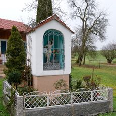
Bildstock
3.8 km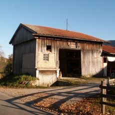
Stadel
4.5 km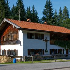
Unternogg 4
5.1 km
Wallfahrtsmuseum in der Wies
3.3 km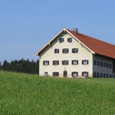
Bauernhaus''zum Brandstatter''
4.9 kmReviews
Visited this place? Tap the stars to rate it and share your experience / photos with the community! Try now! You can cancel it anytime.
Discover hidden gems everywhere you go!
From secret cafés to breathtaking viewpoints, skip the crowded tourist spots and find places that match your style. Our app makes it easy with voice search, smart filtering, route optimization, and insider tips from travelers worldwide. Download now for the complete mobile experience.

A unique approach to discovering new places❞
— Le Figaro
All the places worth exploring❞
— France Info
A tailor-made excursion in just a few clicks❞
— 20 Minutes