
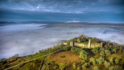
Trockengebiete an den Werntalhängen zwischen Karsbach und Stetten
Trockengebiete an den Werntalhängen zwischen Karsbach und Stetten, protected area in the European Union defined by the habitats directive in Bayern, Germany
Location: Main-Spessart
Inception: 2004
GPS coordinates: 50.00186,9.81398
Latest update: March 6, 2025 21:55
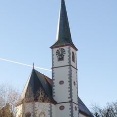
St. Bonifatius (Aschfeld)
851 m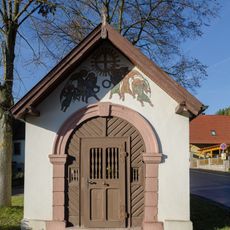
Kapelle
594 m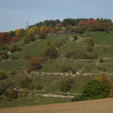
Giebel
741 m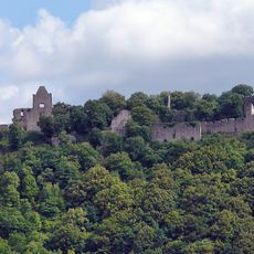
Ruine Homburg
121 m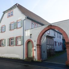
Bauernhof
1.4 km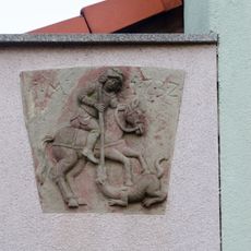
Relief
1.4 km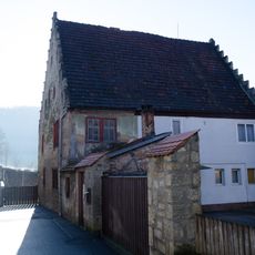
Wohnhaus
951 m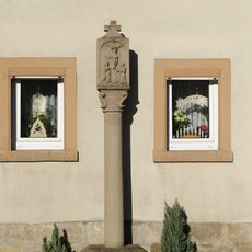
Bildstock
624 m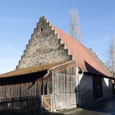
Scheune
1.3 km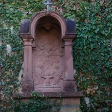
Prozessionsaltar
884 m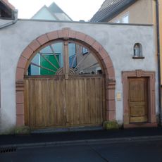
Hoftor
1.4 km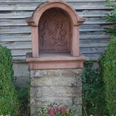
Bildstock
1.3 km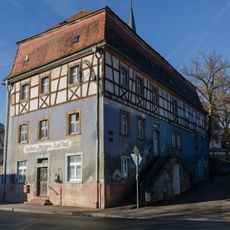
Gasthaus
909 m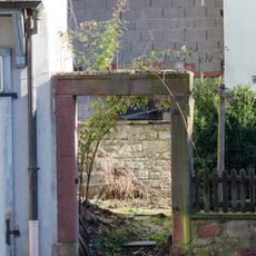
Fußgängerpforte
1.3 km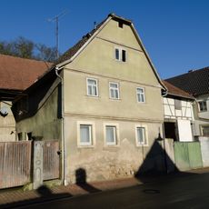
Wohnhaus
1 km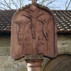
Bildstock
871 m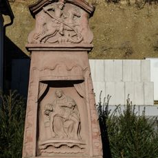
Bildstock
1.1 km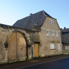
Wohnhaus
1.2 km
Bauernhof
1.2 km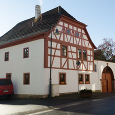
Wohnhaus
1 km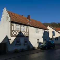
Wohnhaus
960 m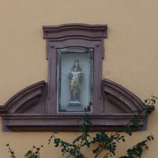
Portalsturz
1.1 km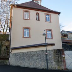
Pfarrhaus
894 m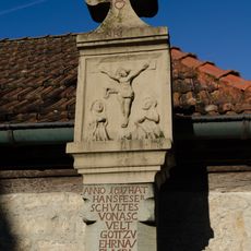
Bildstock
987 m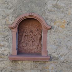
Bildstock
940 m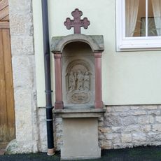
Prozessionsaltar
1.4 km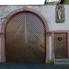
Hoftor
1.4 km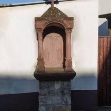
Prozessionsaltar
1.3 kmVisited this place? Tap the stars to rate it and share your experience / photos with the community! Try now! You can cancel it anytime.
Discover hidden gems everywhere you go!
From secret cafés to breathtaking viewpoints, skip the crowded tourist spots and find places that match your style. Our app makes it easy with voice search, smart filtering, route optimization, and insider tips from travelers worldwide. Download now for the complete mobile experience.

A unique approach to discovering new places❞
— Le Figaro
All the places worth exploring❞
— France Info
A tailor-made excursion in just a few clicks❞
— 20 Minutes