
Unterer Halblech, protected area in the European Union defined by the habitats directive in Bayern, Germany
Location: Ostallgäu
Inception: 2000
GPS coordinates: 47.63698,10.80160
Latest update: March 6, 2025 12:13


St. Michael
1.3 km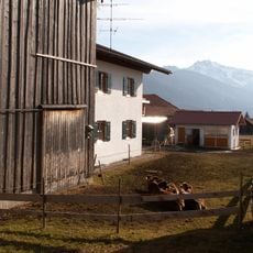
Bauernhaus
1.2 km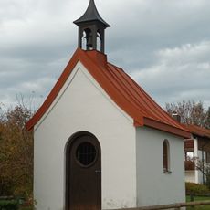
Pfefferbichl chapel
1 km
Kühberg
1.4 km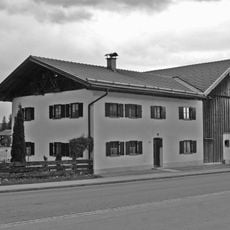
Bauernhaus
1.6 km
Wayside chapel, Bayerniederhofen cemetery
1.3 km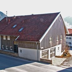
Bauernhaus
852 m
Kirchstraße 8 (Halblech)
1.3 km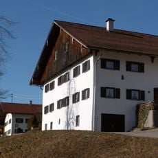
Bauernhaus
814 m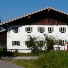
Bauernhaus
1.5 km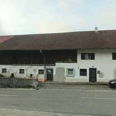
Farmhouse
836 m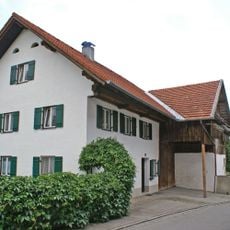
Bauernhaus
1.2 km
Wayside shrine Bayerniederhofen
1.5 km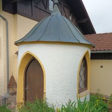
Privatkapelle
934 m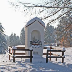
Pfefferbichl wayside shrine
1 km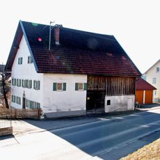
Bauernhaus
856 m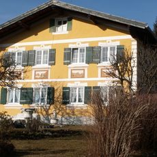
Lehrerwohnhaus
1 km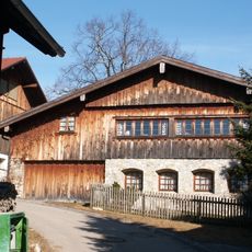
Bauernhaus
932 m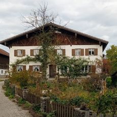
Bauernhaus
712 m
St. Peter
813 m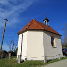
Kapelle
1.4 km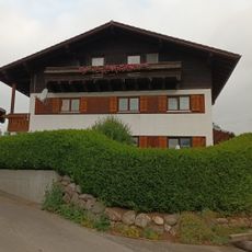
Farmhouse
769 m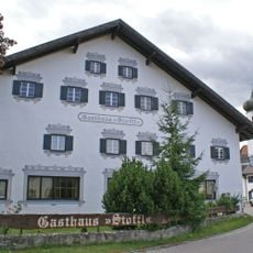
Gasthaus Stoffl
1.2 km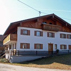
Bauernhaus
898 m
Bauernhaus
816 m
Ehemals Bauernhaus
1.3 km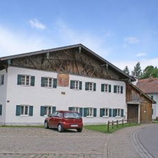
Kirchstraße 4 (Halblech)
1.2 km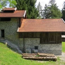
Kalkofen
1.5 kmReviews
Visited this place? Tap the stars to rate it and share your experience / photos with the community! Try now! You can cancel it anytime.
Discover hidden gems everywhere you go!
From secret cafés to breathtaking viewpoints, skip the crowded tourist spots and find places that match your style. Our app makes it easy with voice search, smart filtering, route optimization, and insider tips from travelers worldwide. Download now for the complete mobile experience.

A unique approach to discovering new places❞
— Le Figaro
All the places worth exploring❞
— France Info
A tailor-made excursion in just a few clicks❞
— 20 Minutes