
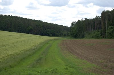
Weiherkette nördlich Weinzierlein, protected area in the European Union defined by the habitats directive in Bayern, Germany
Location: Fürth
Inception: 2004
GPS coordinates: 49.43375,10.88545
Latest update: March 24, 2025 09:32
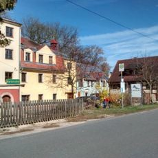
Kernmühle (Roßtal)
1.9 km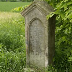
Marter bei Steinbach (Cadolzburg)
2.8 km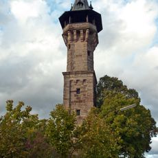
Cadolzburg Observation Tower
3.3 km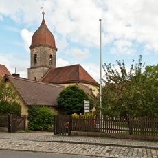
St. Peter und Paul
3 km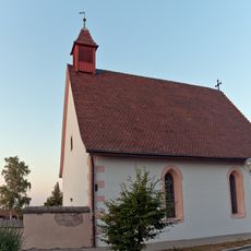
Friedhofskirche
3.5 km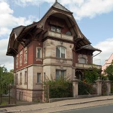
Villa von Fritz Walter
3.5 km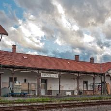
Cadolzburg station building
3.3 km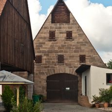
Scheune
2.9 km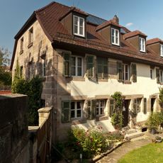
Wohnhaus
3.6 km
Steinkreuz in Weinzierlein
1.4 km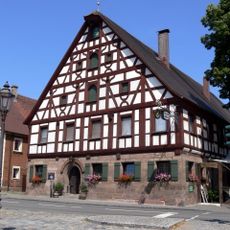
Marktplatz Ammerndorf
2.9 km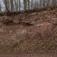
Verwerfung bei Banderbach
3.5 km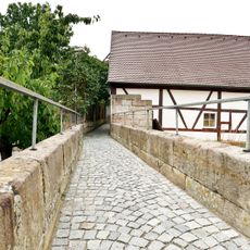
Hasensteg
3.7 km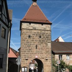
Torturm
3.6 km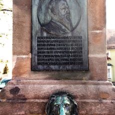
Brunnen, Denkmal für den Bahnbau im Biberttal
2.9 km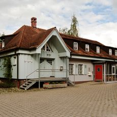
Ammerndorf station building
2.6 km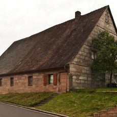
Wohnstallhaus
3.6 km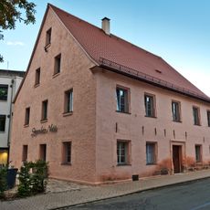
Hotel Sporcher Nest
3.5 km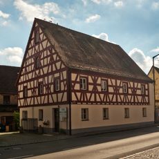
Wohnhaus
2.9 km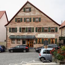
Marktplatz 13
3.7 km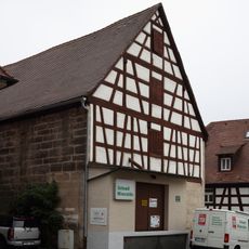
Marktplatz 3
3.6 km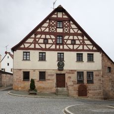
Marktplatz 8
3.7 km
Sommerkellerhaus
3.2 km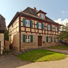
Pfarrhaus
3 km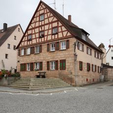
Marktplatz 7
3.7 km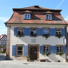
Marktplatz 2 (Cadolzburg)
3.6 km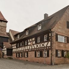
Hofanlage, Wohnhaus
3.6 km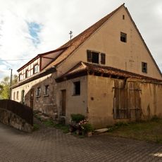
Wohnstallhaus
1.9 kmReviews
Visited this place? Tap the stars to rate it and share your experience / photos with the community! Try now! You can cancel it anytime.
Discover hidden gems everywhere you go!
From secret cafés to breathtaking viewpoints, skip the crowded tourist spots and find places that match your style. Our app makes it easy with voice search, smart filtering, route optimization, and insider tips from travelers worldwide. Download now for the complete mobile experience.

A unique approach to discovering new places❞
— Le Figaro
All the places worth exploring❞
— France Info
A tailor-made excursion in just a few clicks❞
— 20 Minutes