
Dübener Heide, protected landscape area in Sachsen-Anhalt, Germany
Location: Anhalt-Bitterfeld
Inception: 1997
Part of: Dübener Heide
GPS coordinates: 51.68890,12.59770
Latest update: March 31, 2025 03:02
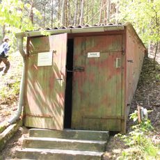
Bunker Kossa-Söllichau
9.5 km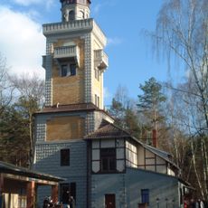
Kaiser-Wilhelm-Tower
6.8 km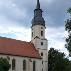
Protestant church Reinharz
5.3 km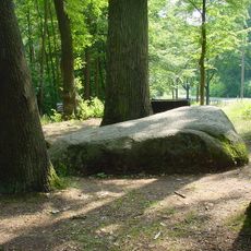
Lutherstein (Dübener Heide)
1.5 km
Bundesdenkmal des Bundes Deutscher Radfahrer
9.2 km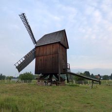
Bockwindmühle Bad Düben
9.5 km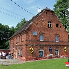
Döbelts Mühle
4.9 km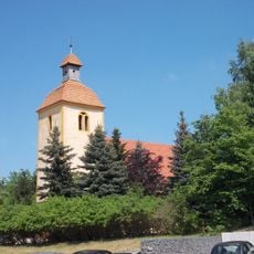
Protestant Church Rotta
8.5 km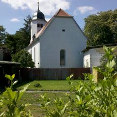
Protestant church Krina
8.8 km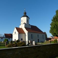
Protestant Church (Tornau)
5.6 km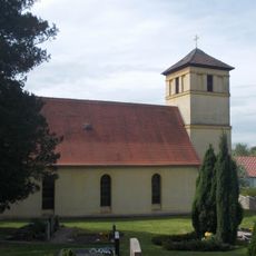
Village church Schwemsal
7.6 km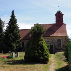
Protestant church Ogkeln
8.7 km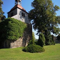
Protestant church Gommlo
6.6 km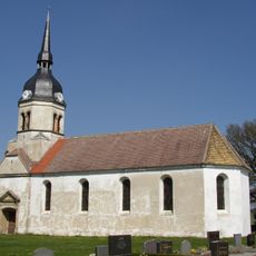
Protestant village church in Schköna
4.2 km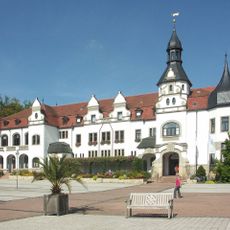
Kurhaus Bad Schmiedeberg
9.2 km
Protestant church Radis
9 km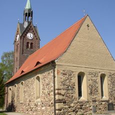
Protestant Church Söllichau
6.7 km
Protestant Church (Laußig)
8.8 km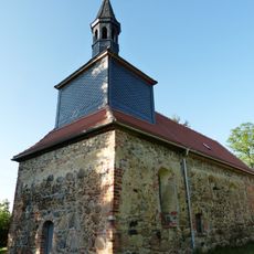
Protestant church Hohenlubast
5.3 km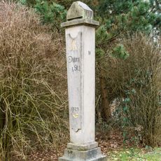
Polish-Saxon Post Milestone Tornau
3.6 km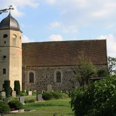
Field stone church Meuro
7.6 km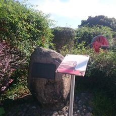
Gedenkstein Bahnhof Kleinspurbahn Kemberg
9.2 km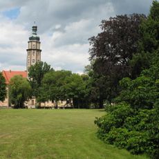
Schlosspark Reinharz
5.3 km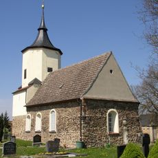
Sachgesamtheit Dorfkirche und Kirchhof Durchwehna, mit folgenden Einzeldenkmalen: Kirche mit Ausstattung, Kirchhof, acht Grabmale, Denkmal für die Gefallenen des Ersten Weltkrieges und Kirchhofseinfriedung (siehe Einzeldenkmalliste - Obj. 08974085)
8.8 km
Gedenkstätte Lager Heide
8.8 km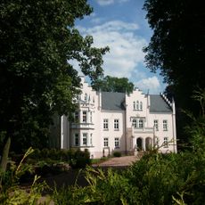
Schloss Schköna
4.2 km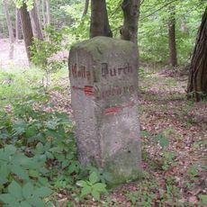
Wegestein Durchwehna
8.5 km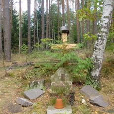
Soldatengrab (Dübener Heide)
8.5 kmReviews
Visited this place? Tap the stars to rate it and share your experience / photos with the community! Try now! You can cancel it anytime.
Discover hidden gems everywhere you go!
From secret cafés to breathtaking viewpoints, skip the crowded tourist spots and find places that match your style. Our app makes it easy with voice search, smart filtering, route optimization, and insider tips from travelers worldwide. Download now for the complete mobile experience.

A unique approach to discovering new places❞
— Le Figaro
All the places worth exploring❞
— France Info
A tailor-made excursion in just a few clicks❞
— 20 Minutes