
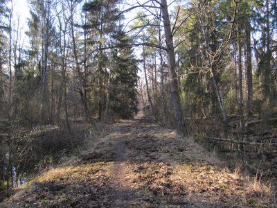
Naturschutzgebiet Am Oberhof bei Großen-Linden, protected area in Germany
Location: Linden
Inception: 1985
GPS coordinates: 50.55426,8.67606
Latest update: March 14, 2025 05:15

Evangelische Kirche (Kleinlinden)
2.1 km
Gießener Bergwerkswald
833 m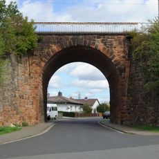
Bahnbrücke Umgehungsbahn
2.2 km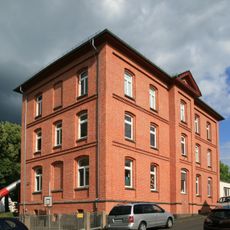
Rote Schule
2.1 km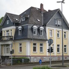
Ehemaliges Hotel-Restaurant „Zur Bergschenke“
1.2 km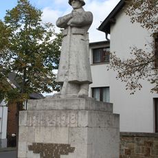
Kriegerdenkmal
2 km
Katzbach 20
2.2 km
Lützellindener Straße 14
2.3 km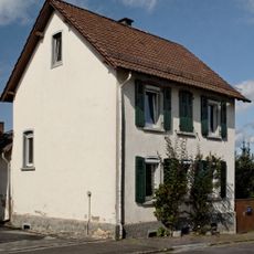
Lützellindener Straße 17
2.3 km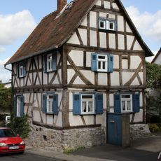
Zum Maiplatz 4
2.2 km
Beamtenhaus
253 m
Wetzlarer Straße 32
2.2 km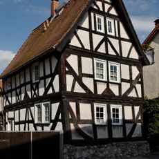
Wetzlarer Straße 37
2.2 km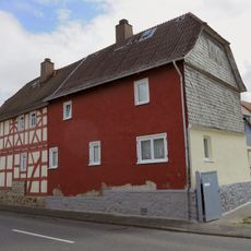
Wetzlarer Straße 24-26
2.2 km
Ehemalige Kleinkinderschule
2.1 km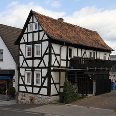
Zum Maiplatz 12
2.2 km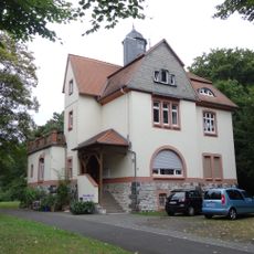
Oberhof 15
317 m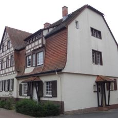
Oberhof 28-30
248 m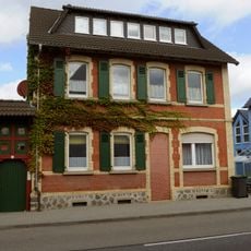
Wetzlarer Straße 21
2.2 km
Friedhof Kleinlinden
1.9 km
Frankfurter Straße 352
2.1 km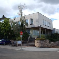
Mathematisches Institut
2.2 km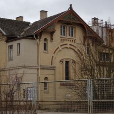
Erdkauter Weg 40
1.7 km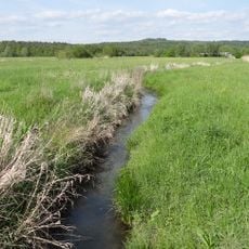
Lückebachaue
2.2 km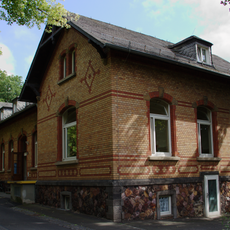
Haus Am Steg 30
2.3 km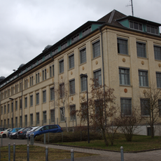
Sachgesamtheit Gail'sche Zigarrenfabrik
1.9 km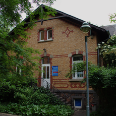
Psychiatrische Klinik
2.2 km
Heilstätte Seltersberg
2.2 kmVisited this place? Tap the stars to rate it and share your experience / photos with the community! Try now! You can cancel it anytime.
Discover hidden gems everywhere you go!
From secret cafés to breathtaking viewpoints, skip the crowded tourist spots and find places that match your style. Our app makes it easy with voice search, smart filtering, route optimization, and insider tips from travelers worldwide. Download now for the complete mobile experience.

A unique approach to discovering new places❞
— Le Figaro
All the places worth exploring❞
— France Info
A tailor-made excursion in just a few clicks❞
— 20 Minutes