
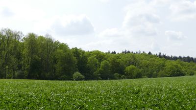
Borngrund bei Oberndorf, protected area in Germany
Location: Solms
Inception: 1991
GPS coordinates: 50.52701,8.42516
Latest update: March 2, 2025 23:14
Evangelische Kirche Albshausen
1.7 km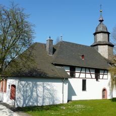
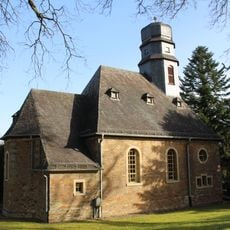
Evangelische Kirche Oberndorf
1.1 km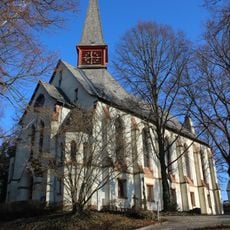
Evangelische Kirche (Burgsolms)
1.9 km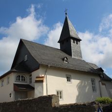
Evangelische Kirche Laufdorf
2.7 km
Borngasse 34
2.7 km
Evangelische Kirche (Bonbaden)
2.7 km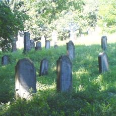
Jüdischer Friedhof Solms
2.2 km
Villa Hubertus
2.6 km
District Court of Braunfels
2.6 km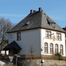
Ehemalige Schule
2.6 km
Braunfelser Straße 53
994 m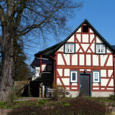
Backhaus
2.6 km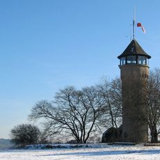
Kaiser-Wilhelm-Warte
2.3 km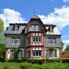
Kirschenhohl 5
2.7 km
Wolfsgasse 13
881 m
Gesamtanlage Hubertusstraße
2.6 km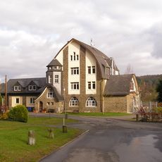
Bahnhof Braunfels-Oberndorf
1.9 km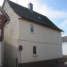
Wolfsgasse 12
898 m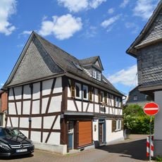
Gartenstraße 1
2.7 km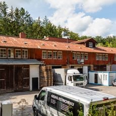
Grube Laubach
1.3 km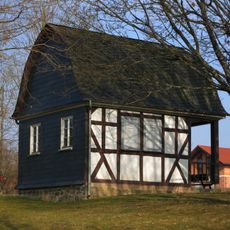
Friedhof, Leichenhalle
2.5 km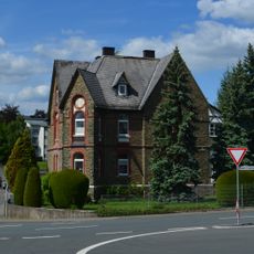
Villa Schwenninger, Sanatorium Gerster
2.6 km
Wasserbehälter
324 m
Jahnstraße, bei Nr. 3
970 m
Wolfsgasse 11
886 m
Ehemalige Schule
1 km
Borngasse 43
2.7 km
Ringstraße 19
2.7 kmVisited this place? Tap the stars to rate it and share your experience / photos with the community! Try now! You can cancel it anytime.
Discover hidden gems everywhere you go!
From secret cafés to breathtaking viewpoints, skip the crowded tourist spots and find places that match your style. Our app makes it easy with voice search, smart filtering, route optimization, and insider tips from travelers worldwide. Download now for the complete mobile experience.

A unique approach to discovering new places❞
— Le Figaro
All the places worth exploring❞
— France Info
A tailor-made excursion in just a few clicks❞
— 20 Minutes