
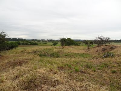
Naturschutzgebiet Im Tiefen Ried bei Steinheim, protected area in Germany
Location: Hungen
Inception: 1995
GPS coordinates: 50.43740,8.91298
Latest update: April 21, 2025 06:09
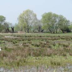
Mittlere Horloffaue
1.8 km
Evangelical Church
1.2 km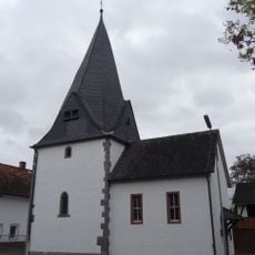
Evangelische Kirche Steinheim
1.1 km
Bürgerhausstraße 4
835 m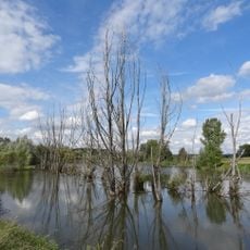
An der Kuhweide bei Steinheim
1.4 km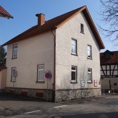
Bellersheimer Straße 9
1.3 km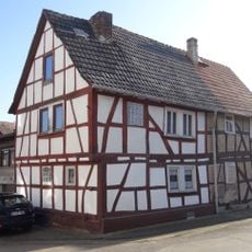
Mittelgasse 21-23
1.1 km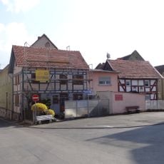
Gesamtanlage historischer Ortskern
1.2 km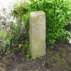
Ohne Anschrift
1 km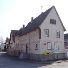
Alte Dorfstraße 21
1.2 km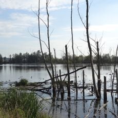
Mairied von Rodheim und Gänsweid von Steinheim
1.1 km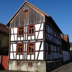
Mittelgasse 24
1.1 km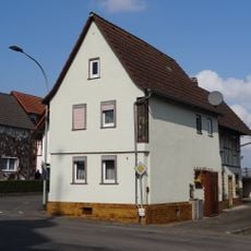
Alte Dorfstraße 4
1.3 km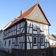
Hessenstraße 3
916 m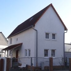
Mittelgasse 3
937 m
Döllebach 3
952 m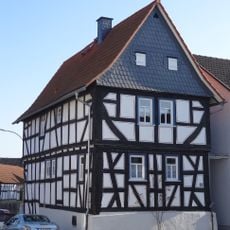
Mittelgasse 13
1 km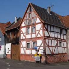
Alte Dorfstraße 22
1.2 km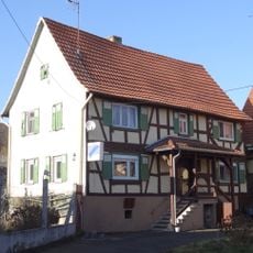
Neue Fahrt 16
1.1 km
Steinkreuz
1.5 km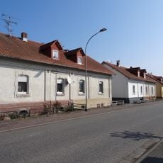
Gesamtanlage Bellersheimer Straße
1.8 km
Utpher Kirchenpfad 4
1.2 km
Weedstraße 31
1.9 km
Weedstraße 41
1.8 km
Döllebach 2
967 m
Burg bei Unter-Widdersheim
1.7 km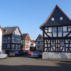
Gesamtanlage Ortskern Steinheim
1 km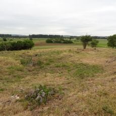
Kleinkastell Massohl
225 mReviews
Visited this place? Tap the stars to rate it and share your experience / photos with the community! Try now! You can cancel it anytime.
Discover hidden gems everywhere you go!
From secret cafés to breathtaking viewpoints, skip the crowded tourist spots and find places that match your style. Our app makes it easy with voice search, smart filtering, route optimization, and insider tips from travelers worldwide. Download now for the complete mobile experience.

A unique approach to discovering new places❞
— Le Figaro
All the places worth exploring❞
— France Info
A tailor-made excursion in just a few clicks❞
— 20 Minutes