
Friedhof am Hochheider Weg, protected landscape in Lower Saxony, Germany
Location: Oldenburg
Inception: 1947
GPS coordinates: 53.15980,8.22977
Latest update: May 8, 2025 08:52
Donnerhall
2.2 km
EWE Arena
1.5 km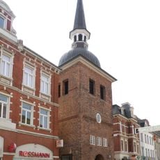
Lappan
2.2 km
Horst Janssen Museum
2 km
Mausoleum
1.6 km
State library Oldenburg
1.7 km
Weser-Ems Halle
1.4 km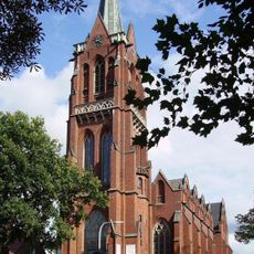
St. Peter
2.3 km
Garnisonkirche Oldenburg
2 km
Stadtmuseum Oldenburg
2 km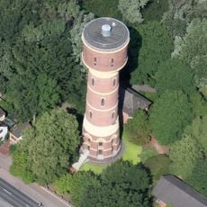
Donnerschwee water tower
1 km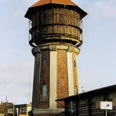
Bahnwasserturm Oldenburg Hafen
2.2 km
Haus "Graf Anton Günther"
2.3 km
Kirche Ohmstede
1.5 km
Edith-Russ-Haus
2.3 km
Count Anton Günther
2.3 km
Oldenburg Computer Museum
1.9 km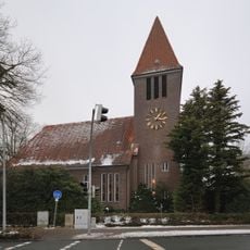
Auferstehungskirche
2.1 km
Exerzierhalle
1.9 km
Friedhof Ohmstede
1.4 km
Mann im Matsch - der Suchende
1.6 km
Maritime Großplastik
2.2 km
Skulptur für die LZB Oldenburg
2.2 km
Lebensbaum
2.2 km
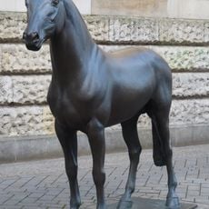
Four horses
1.9 km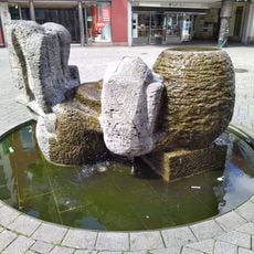
Reimann fountain
2.2 km
The Daredevil
2.3 km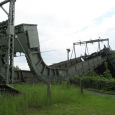
Oldenburg railway bridge
2.2 kmReviews
Visited this place? Tap the stars to rate it and share your experience / photos with the community! Try now! You can cancel it anytime.
Discover hidden gems everywhere you go!
From secret cafés to breathtaking viewpoints, skip the crowded tourist spots and find places that match your style. Our app makes it easy with voice search, smart filtering, route optimization, and insider tips from travelers worldwide. Download now for the complete mobile experience.

A unique approach to discovering new places❞
— Le Figaro
All the places worth exploring❞
— France Info
A tailor-made excursion in just a few clicks❞
— 20 Minutes